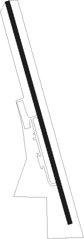
Wynne - Wynne Muni
Airport details
| Country | United States of America |
| State | Arkansas |
| Region | K4 |
| Airspace | Memphis Ctr |
| Municipality | Wynne |
| Elevation | 370ft (113m) |
| Timezone | GMT -6 |
| Coordinates | 35.23160, -90.76155 |
| Magnetic var | |
| Type | land |
| Available since | X-Plane v10.40 |
| ICAO code | M65 |
| IATA code | n/a |
| FAA code | n/a |
Communication
| Wynne Muni CTAF/UNICOM | 122.800 |
Nearby Points of Interest:
Wynne Post Office
-Wynne Wholesale Commercial Historic District
-New Hope School
-East Hamilton Avenue Historic District
-John H. Johnston Cotton Gin Historic District
-St. Francis River Bridge (Madison, Arkansas)
-Campbell House
-Missouri Pacific Depot
-Poinsett County Courthouse
-Dr. John William Morris Clinic
-Tyronza Methodist Episcopal Church, South
-Judd Hill Cotton Gin
-Highway A-7, Gilmore to Turrell
-Old Turrell City Hall
-Weldon Gin Company Historic District
-John A. Plummer House
-Marianna Waterworks
-J. M. McClintock House
-Lee County Courthouse
-Elks Club
-Marianna City Hall
-Marion Colored High School
-Marianna Missouri-Pacific Depot
-Crittenden County Courthouse
Nearby beacons
| code | identifier | dist | bearing | frequency |
|---|---|---|---|---|
| GQE | GILMORE VOR/DME | 15.5 | 68° | 113 |
| JBR | JONESBORO VOR/DME | 39.5 | 15° | 108.60 |
| UJM | MARVELL (HELENA) VOR/DME | 39.6 | 172° | 109.60 |
| MEM | MEMPHIS VORTAC | 40.3 | 106° | 117.50 |
| ARG | WALNUT RIDGE VORTAC | 53.5 | 348° | 114.50 |
| TNZ | LAWRENCE COUNTY (WALNUT RIDGE) NDB | 59.1 | 351° | 227 |
| TT | STUTT (STUTTGART) NDB | 59.4 | 228° | 338 |
Disclaimer
The information on this website is not for real aviation. Use this data with the X-Plane flight simulator only! Data taken with kind consent from X-Plane 12 source code and data files. Content is subject to change without notice.
