Rayville - John H Hooks Jr
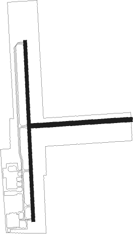
Airport details
| Country | United States of America |
| State | Louisiana |
| Region | K4 |
| Airspace | Ft Worth Ctr |
| Municipality | Richland Parish |
| Elevation | 83ft (25m) |
| Timezone | GMT -6 |
| Coordinates | 32.48529, -91.77032 |
| Magnetic var | |
| Type | land |
| Available since | X-Plane v10.40 |
| ICAO code | M79 |
| IATA code | n/a |
| FAA code | n/a |
Communication
| John H Hooks JR UNICOM | 122.800 |
| John H Hooks JR MONROE Approach/Departure | 126.900 |
Nearby Points of Interest:
Masur Museum of Art
-First United Methodist Church
-Logtown Plantation
-Morehouse Parish Courthouse
-Rose Theatre
-Boscobel Cottage
-Bosco Plantation House
-Schepis Building
-Downtown Columbia Historic District
-Scottland Plantation House
-Madison Parish Courthouse
-Crescent Plantation

Nearby beacons
| code | identifier | dist | bearing | frequency |
|---|---|---|---|---|
| MLU | MONROE VORTAC | 13.5 | 277° | 117.20 |
| ML | SABAR (MONROE) NDB | 17 | 265° | 392 |
| BQP | BASTROP NDB | 17.1 | 337° | 329 |
| FWV | TRUXNO (FARMERVILLE) NDB | 35.6 | 299° | 379 |
| TKH | TALLULAH (VICKSBURG/TALLULAH) NDB | 40.4 | 108° | 344 |
| ROQ | RUSTON NDB | 42 | 279° | 368 |
| HAH | NATCHEZ-ADAMS COUNTY NDB | 53.5 | 149° | 388 |
| SWB | SAWMILL (WINNFIELD) VOR/DME | 55.3 | 241° | 113.75 |
| HEZ | NATCHEZ VOR/DME | 57.3 | 152° | 110 |
| ELD | EL DORADO VOR/DME | 67.4 | 308° | 115.50 |
| EL | LADOS (EL DORADO) NDB | 68.1 | 310° | 418 |
| MTQ | METCALF (GREENVILLE) NDB | 69 | 40° | 359 |
Instrument approach procedures
| runway | airway (heading) | route (dist, bearing) |
|---|---|---|
| RW18 | OGELS (182°) | OGELS 6000ft OGELS (turn) 1700ft |
| RNAV | OGELS 1700ft YIGLU (7mi, 182°) 1600ft ZAPOR (3mi, 182°) 620ft M79 (2mi, 178°) 141ft (5495mi, 109°) 448ft APERE (5495mi, 289°) 1600ft APERE (turn) | |
| RW36 | APERE (3°) | APERE 6000ft APERE (turn) 1600ft |
| RNAV | APERE 1600ft HIGER (6mi, 2°) 1600ft CATAD (3mi, 2°) 760ft M79 (2mi, 5°) 131ft (5495mi, 109°) 424ft OGELS (5494mi, 290°) 1700ft OGELS (turn) |
Disclaimer
The information on this website is not for real aviation. Use this data with the X-Plane flight simulator only! Data taken with kind consent from X-Plane 12 source code and data files. Content is subject to change without notice.