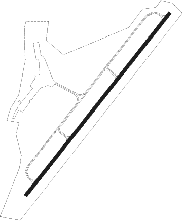
Nashville - Cornelia Fort Airpark
Airport details
| Country | United States of America |
| State | Tennessee |
| Region | |
| Airspace | Memphis Ctr |
| Municipality | Nashville-Davidson |
| Elevation | 416ft (127m) |
| Timezone | GMT -6 |
| Coordinates | 36.18590, -86.70467 |
| Magnetic var | |
| Type | land |
| Available since | X-Plane v10.40 |
| ICAO code | M88 |
| IATA code | n/a |
| FAA code | n/a |
Communication
| Cornelia Fort Airpark CTAF/UNICOM | 123.075 |
Nearby Points of Interest:
Weakley-Truett-Clark House
-Riverwood
-Miles House
-Belair
-Two Rivers Mansion
-Dr. Cleo Miller House
-Holly Street Fire Hall
-Home for Aged Masons
-Hall-Harding-McCampbell House
-Lebanon Road Stone Arch Bridge
-Lindsley Hall
-Anna Russell Cole Auditorium
-Acme Farm Supply Building
-James Geddes Engine Company No. 6
-Hubbard House
-Second Avenue Commercial District
-Davidson County Courthouse
-The Stahlman
-Cheatham Building
-Primitive Baptist Church
-Printers Alley Historic District
-Morris Memorial Building
-Nashville Arcade
-Elm Street Methodist Church
-John Sevier State Office Building
Nearby beacons
| code | identifier | dist | bearing | frequency |
|---|---|---|---|---|
| BNA | NASHVILLE VORTAC | 3 | 158° | 114.10 |
| FQW | WALTER HILL (MURFREESBORO) NDB | 21 | 124° | 371 |
| CK | SNUFF(FT CAMPBELL (CLARKSVILLE NDB | 38.8 | 297° | 335 |
| SYI | SHELBYVILLE VOR/DME | 39.6 | 157° | 113.55 |
| GHM | (CENTERVILLE) DME | 42 | 245° | 111.60 |
| BW | NOORA (BOWLING GREEN) NDB | 43 | 18° | 236 |
| CKV | CLARKSVILLE VOR/DME | 43 | 302° | 110.60 |
| BWG | GREEN DME | 46.3 | 19° | 117.90 |
| FK | AIRBE(FT CAMPBELL/HOPKINSVILLE NDB | 47.6 | 308° | 273 |
| HXW | SCREAMING EAGLE TACAN | 48.2 | 300° | 114.90 |
Disclaimer
The information on this website is not for real aviation. Use this data with the X-Plane flight simulator only! Data taken with kind consent from X-Plane 12 source code and data files. Content is subject to change without notice.