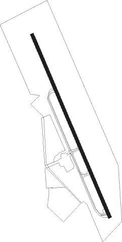
Mendota
Airport details
| Country | United States of America |
| State | California |
| Region | K2 |
| Airspace | Oakland Ctr |
| Municipality | Mendota |
| Elevation | 162ft (49m) |
| Timezone | GMT -8 |
| Coordinates | 36.75861, -120.37139 |
| Magnetic var | |
| Type | land |
| Available since | X-Plane v10.40 |
| ICAO code | M90 |
| IATA code | n/a |
| FAA code | M90 |
Communication
| MENDOTA CTAF | 122.900 |
Nearby Points of Interest:
Fresno Municipal Sanitary Landfill
-San Joaquin Light and Power Corporation Building
-Bank of Italy
-Fresno Bee Building
-Einstein House
-Southern Pacific Depot
-Bank of Los Banos Building
-Church of St. Joseph
Nearby beacons
| code | identifier | dist | bearing | frequency |
|---|---|---|---|---|
| PXN | PANOCHE VORTAC | 19.7 | 264° | 112.60 |
| CZQ | CLOVIS (FRESNO) VORTAC | 27.7 | 77° | 112.90 |
| HYP | EL NIDO (MERCED) VOR/DME | 27.7 | 356° | 114.20 |
| NLC | NAVY LEMOORE TACAN | 31.6 | 136° | 113.30 |
| FRA | FRIANT VORTAC | 42.6 | 66° | 115.60 |
| VIS | VISALIA VOR/DME | 48.9 | 114° | 109.40 |
| MOD | MODESTO VOR/DME | 59.2 | 326° | 114.60 |
| HGT | HUNTER LIGGETT NDB | 62.1 | 226° | 209 |
Disclaimer
The information on this website is not for real aviation. Use this data with the X-Plane flight simulator only! Data taken with kind consent from X-Plane 12 source code and data files. Content is subject to change without notice.