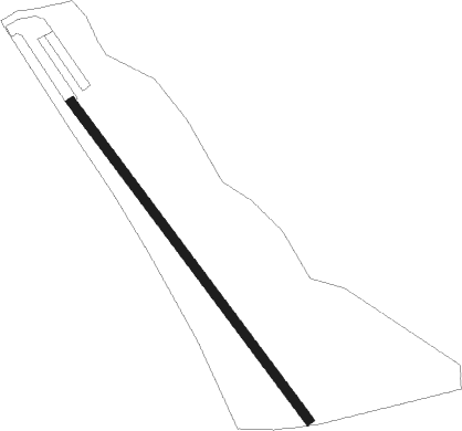
Worthington - Albert Farms
Airport details
| Country | United States of America |
| State | Massachusetts |
| Region | |
| Airspace | Boston Ctr |
| Municipality | Worthington |
| Elevation | 1422ft (433m) |
| Timezone | GMT -5 |
| Coordinates | 42.39180, -72.93256 |
| Magnetic var | |
| Type | land |
| Available since | X-Plane v10.30 |
| ICAO code | MA88 |
| IATA code | n/a |
| FAA code | MA88 |
Communication
Nearby Points of Interest:
Ringville Cemetery
-Gate Cemetery
-Ireland Street Cemetery
-South Worthington Historic District
-North Chester Historic District
-Chesterfield Center Historic District
-Middlefield Center Historic District
-William Cullen Bryant Homestead
-Bisbee Mill
-Western Railroad Stone Arch Bridges and Chester Factory Village Depot
-Mountain Rest
-Middlefield-Becket Stone Arch Railroad Bridge District
-Clark-Eames House
-Sibley-Corcoran House
-Philip Eames House
-Lower Historic District
-Becket Center Historic District
-South Center School House
-Upper Historic District
-Huntington Village Historic District
-Ashfield Plain Historic District
-East Hawley Center Historic District
-Grove Hill Mansion
-Hawley
-Jacob's Pillow
Runway info
| Runway 18 / 36 | ||
| length | 643m (2110ft) | |
| bearing | 140° / 320° | |
| width | 15m (50ft) | |
| surface | asphalt | |
Nearby beacons
| code | identifier | dist | bearing | frequency |
|---|---|---|---|---|
| CTR | CHESTER VOR/DME | 6 | 190° | 115.10 |
| BAF | BARNES (WESTFIELD/SPRINGF VORTAC | 16.8 | 137° | 113 |
| CEF | WESTOVER(SPRINGFIELD/CHIC TACAN | 21.4 | 116° | 114 |
| PFH | PHILMONT (HUDSON) NDB | 36 | 260° | 272 |
| EEN | DME | 37.2 | 58° | 109.40 |
| GDM | GARDNER VOR/DME | 39.8 | 80° | 110.60 |
| CAM | CAMBRIDGE VOR/DME | 40.4 | 326° | 115 |
| ALB | ALBANY VORTAC | 44 | 292° | 115.30 |
| AL | HAWKY (ALBANY) NDB | 46.3 | 296° | 219 |
| PWL | PAWLING (POUGHKEEPSIE) VOR/DME | 47.7 | 227° | 114.30 |
| HFD | HARTFORD VOR/DME | 48.2 | 153° | 114.90 |
| IGN | KINGSTON VOR/DME | 58.9 | 231° | 117.60 |
| GF | GANSE (GLENS FALLS) NDB | 59.7 | 322° | 209 |
| CNH | CLAREMONT NDB | 63.6 | 30° | 233 |
| ORW | NORWICH VOR/DME | 65.2 | 132° | 110 |
Disclaimer
The information on this website is not for real aviation. Use this data with the X-Plane flight simulator only! Data taken with kind consent from X-Plane 12 source code and data files. Content is subject to change without notice.
