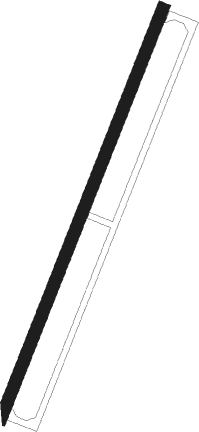
San Isidro - San Isidro Ab
Airport details
| Country | Dominican Republic |
| State | Santo Domingo |
| Region | MD |
| Airspace | Santo Domingo Ctr |
| Municipality | Santo Domingo Este |
| Elevation | 110ft (34m) |
| Timezone | GMT -4 |
| Coordinates | 18.50377, -69.76168 |
| Magnetic var | |
| Type | land |
| Available since | X-Plane v10.40 |
| ICAO code | MDSI |
| IATA code | n/a |
| FAA code | n/a |
Communication
| SAN ISIDRO AB Tower | 122.700 |
Approach frequencies
| ILS-cat-I | RW21 | 109.1 | 18.00mi |
| 3° GS | RW21 | 109.1 | 18.00mi |
Nearby beacons
| code | identifier | dist | bearing | frequency |
|---|---|---|---|---|
| SIS | SAN ISIDRO VOR/DME | 0.2 | 265° | 112.40 |
| HIJ | SAN ISIDRO NDB | 0.6 | 338° | 220 |
| LAS | GUERRA NDB | 4.9 | 27° | 200 |
| CDO | PUNTA CAUCEDO (SANTO DOMI VOR/DME | 6.8 | 126° | 114.70 |
| DHG | HIGUERO VOR/DME | 13.2 | 287° | 116.60 |
| DCY | EL CATEY (SAMANA) VOR/DME | 46 | 2° | 115.80 |
| LRN | LA ROMANA VOR/DME | 48.4 | 93° | 116.20 |
| SGO | SANTIAGO VOR/DME | 72.3 | 317° | 114.90 |
Disclaimer
The information on this website is not for real aviation. Use this data with the X-Plane flight simulator only! Data taken with kind consent from X-Plane 12 source code and data files. Content is subject to change without notice.
