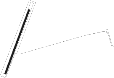
Jutiapa
Airport details
| Country | Guatemala |
| State | Jutiapa |
| Region | MG |
| Airspace | Central American Ctr |
| Municipality | Municipio de Jutiapa |
| Elevation | 2949ft (899m) |
| Timezone | GMT -6 |
| Coordinates | 14.29139, -89.94473 |
| Magnetic var | |
| Type | land |
| Available since | X-Plane v10.40 |
| ICAO code | MGJU |
| IATA code | n/a |
| FAA code | n/a |
Communication
| Jutiapa Approach | 126.900 |
| Jutiapa Departure | 126.900 |
Nearby Points of Interest:
Chalchuapa
Nearby beacons
| code | identifier | dist | bearing | frequency |
|---|---|---|---|---|
| AUR | LA AURORA (GUAT. CITY) VOR/DME | 38.1 | 295° | 114.90 |
| IZP | IZTAPA NDB | 50.7 | 246° | 400 |
| RAB | RABINAL VOR/DME | 52.8 | 324° | 116.10 |
| SJO | SAN JOSE (PUERTO SAN JOSE VOR/DME | 55.9 | 248° | 114.10 |
| SGA | SAN JOSE NDB | 57.5 | 249° | 425 |
| YSV | ILOPANGO (SAN SALVADOR) VOR/DME | 60.2 | 126° | 116.50 |
| CAT | EL SALVADOR (SAN SALVADOR VOR/DME | 73 | 133° | 117.50 |
Disclaimer
The information on this website is not for real aviation. Use this data with the X-Plane flight simulator only! Data taken with kind consent from X-Plane 12 source code and data files. Content is subject to change without notice.