Retalhuleu
Airport details
| Country | Guatemala |
| State | Retalhuleu |
| Region | MG |
| Airspace | Central American Ctr |
| Municipality | Municipio de Retalhuleu |
| Elevation | 653ft (199m) |
| Timezone | GMT -6 |
| Coordinates | 14.52516, -91.69330 |
| Magnetic var | |
| Type | land |
| Available since | X-Plane v10.40 |
| ICAO code | MGRT |
| IATA code | RER |
| FAA code | n/a |
Communication
| Retalhuleu Retalhuleu Tower | 118.800 |
Nearby Points of Interest:
Manchón-Guamuchal
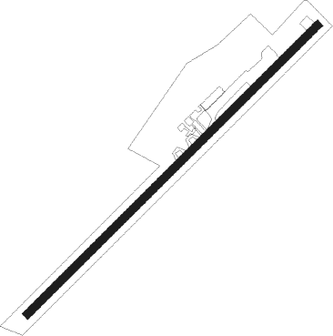
Runway info
| Runway 04 / 22 | ||
| length | 1525m (5003ft) | |
| bearing | 51° / 231° | |
| width | 30m (100ft) | |
| surface | asphalt | |
Nearby beacons
| code | identifier | dist | bearing | frequency |
|---|---|---|---|---|
| TAP | TAPACHULA VOR/DME | 42.7 | 291° | 115.30 |
| SGA | SAN JOSE NDB | 60 | 125° | 425 |
| SJO | SAN JOSE (PUERTO SAN JOSE VOR/DME | 61.4 | 124° | 114.10 |
| IZP | IZTAPA NDB | 66.2 | 122° | 400 |
Disclaimer
The information on this website is not for real aviation. Use this data with the X-Plane flight simulator only! Data taken with kind consent from X-Plane 12 source code and data files. Content is subject to change without notice.