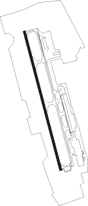
Comayagua - Palmerola Intl
Airport details
| Country | Honduras |
| State | Comayagua |
| Region | MH |
| Airspace | Central American Ctr |
| Elevation | 2065ft (629m) |
| Timezone | GMT -6 |
| Coordinates | 14.38139, -87.62028 |
| Magnetic var | |
| Type | land |
| Available since | X-Plane v10.40 |
| ICAO code | MHSC |
| IATA code | XPL |
| FAA code | n/a |
Communication
| Palmerola Intl Ground Control | 121.900 |
| Palmerola Intl Tower | 118.900 |
| Palmerola Intl Approach | 125.800 |
| Palmerola Intl Departure | 125.800 |
Nearby beacons
| code | identifier | dist | bearing | frequency |
|---|---|---|---|---|
| ESC | CORONEL ENRIQUE SOTO CANO VORTAC | 0.6 | 350° | 114.90 |
| TNT | TONCONTIN (TEGUCIGALPA) VOR/DME | 31 | 132° | 112.30 |
Disclaimer
The information on this website is not for real aviation. Use this data with the X-Plane flight simulator only! Data taken with kind consent from X-Plane 12 source code and data files. Content is subject to change without notice.