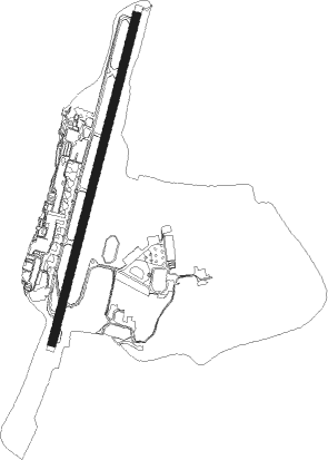
Tegucigalpa - Tegucigalpa Toncontin Intl
Airport details
| Country | Honduras |
| State | Francisco Morazán |
| Region | MH |
| Airspace | Central American Ctr |
| Municipality | Tegucigalpa |
| Elevation | 3291ft (1003m) |
| Timezone | GMT -6 |
| Coordinates | 14.05485, -87.21478 |
| Magnetic var | |
| Type | land |
| Available since | X-Plane v10.40 |
| ICAO code | MHTG |
| IATA code | TGU |
| FAA code | n/a |
Communication
| Tegucigalpa Toncontin Intl ATIS | 127.750 |
| Tegucigalpa Toncontin Intl Ground Control | 121.900 |
| Tegucigalpa Toncontin Intl Tower | 118.700 |
| Tegucigalpa Toncontin Intl TONCONTIN Approach | 119.100 |
Nearby beacons
| code | identifier | dist | bearing | frequency |
|---|---|---|---|---|
| TNT | TONCONTIN (TEGUCIGALPA) VOR/DME | 1.7 | 209° | 112.30 |
| ESC | CORONEL ENRIQUE SOTO CANO VORTAC | 31.1 | 310° | 114.90 |
Departure and arrival routes
| Transition altitude | 19500ft |
| Transition level | 20000ft |
| SID end points | distance | outbound heading | |
|---|---|---|---|
| RW02 | |||
| LIBIS1 | 27mi | 187° | |
| VITAN1 | 33mi | 250° | |
| SAP1 | 94mi | 334° | |
| STAR starting points | distance | inbound heading | |
|---|---|---|---|
| ALL | |||
| LIBIS1 | 26.6 | 7° | |
| GALAN1 | 26.8 | 27° | |
| KARID1 | 26.3 | 70° | |
| VITAN1 | 33.2 | 70° | |
| RIBOS1 | 26.1 | 77° | |
| LEPAX1 | 25.6 | 96° | |
| TALAG1 | 23.3 | 191° | |
Instrument approach procedures
| runway | airway (heading) | route (dist, bearing) |
|---|---|---|
| RW02 | MELVO (191°) | MELVO 9000ft TG017 (6mi, 247°) 8000ft TG015 (4mi, 224°) 7000ft |
| RW02 | TNT (29°) | TNT 8000ft TG018 (2mi, 45°) 7600ft TG015 (10mi, 313°) 7000ft |
| RNAV | TG015 7000ft TG014 (3mi, 189°) 6776ft TG013 (1mi, 155°) 6236ft TG012 (2mi, 139°) 5599ft TG011 (4mi, 122°) 4144ft TG010 (2mi, 72°) 3398ft MHTG (turn) 3343ft TG009 (2mi, 12°) 4246ft TG007 (2mi, 359°) 5283ft TG006 (3mi, 359°) 6672ft MELVO (6mi, 23°) 9000ft |
Holding patterns
| STAR name | hold at | type | turn | heading* | altitude | leg | speed limit |
|---|---|---|---|---|---|---|---|
| GALAN1 | TG050 | VHF | left | 199 (19)° | 9000ft - 60000ft | 1.0min timed | ICAO rules |
| KARID1 | TG050 | VHF | left | 199 (19)° | 9000ft - 60000ft | 1.0min timed | ICAO rules |
| LEPAX1 | TG050 | VHF | left | 199 (19)° | 9000ft - 60000ft | 1.0min timed | ICAO rules |
| LIBIS1 | TG050 | VHF | left | 199 (19)° | 9000ft - 60000ft | 1.0min timed | ICAO rules |
| RIBOS1 | TG050 | VHF | left | 199 (19)° | 9000ft - 60000ft | 1.0min timed | ICAO rules |
| *) magnetic outbound (inbound) holding course | |||||||
Disclaimer
The information on this website is not for real aviation. Use this data with the X-Plane flight simulator only! Data taken with kind consent from X-Plane 12 source code and data files. Content is subject to change without notice.