Bustamante - Rancho Guadalupe South
Airport details
| Country | Mexico |
| State | Coahuila |
| Region | |
| Airspace | Monterrey Ctr |
| Municipality | Candela |
| Elevation | 2200ft (671m) |
| Timezone | GMT -6 |
| Coordinates | 26.63989, -100.89403 |
| Magnetic var | |
| Type | land |
| Available since | X-Plane v10.40 |
| ICAO code | MM51 |
| IATA code | n/a |
| FAA code | n/a |
Communication
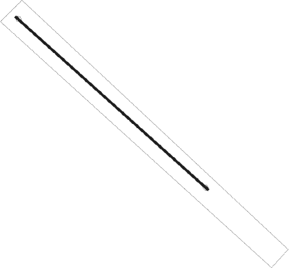
Runway info
| Runway 13 / 31 | ||
| length | 1276m (4186ft) | |
| bearing | 133° / 313° | |
| width | 10m (32ft) | |
| surface | asphalt | |
Nearby beacons
| code | identifier | dist | bearing | frequency |
|---|---|---|---|---|
| MOV | MONCLOVA VOR/DME | 36.2 | 299° | 117.90 |
| ADN | ROBERTO (MONTERRY) VOR/DME | 58.3 | 140° | 115.40 |
| MTY | MONTERREY VOR/DME | 67.2 | 138° | 114.70 |
Disclaimer
The information on this website is not for real aviation. Use this data with the X-Plane flight simulator only! Data taken with kind consent from X-Plane 12 source code and data files. Content is subject to change without notice.