Del Norte Intl
Airport details
| Country | Mexico |
| State | Nuevo León |
| Region | MM |
| Airspace | Monterrey Ctr |
| Municipality | Apodaca |
| Elevation | 1476ft (450m) |
| Timezone | GMT -6 |
| Coordinates | 25.86561, -100.23721 |
| Magnetic var | |
| Type | land |
| Available since | X-Plane v10.40 |
| ICAO code | MMAN |
| IATA code | NTR |
| FAA code | n/a |
Communication
| Del Norte Intl ATIS | 127.550 |
| Del Norte Intl Ground Control | 122.000 |
| Del Norte Intl Tower | 118.600 |
| Del Norte Intl MONTERREY Approach | 119.750 |
| Del Norte Intl MONTERREY Approach | 120.400 |
Approach frequencies
| ILS-cat-I | RW20 | 110.7 | 18.00mi |
| 3.2° GS | RW20 | 110.7 | 18.00mi |
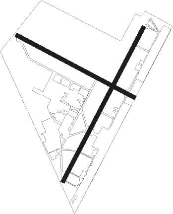
Runway info
Runway 02 / 20  | ||
| length | 2008m (6588ft) | |
| bearing | 35° / 215° | |
| width | 45m (148ft) | |
| surface | asphalt | |
| displ threshold | 72m (236ft) / 0m (0ft) | |
| blast zone | 0m (0ft) / 143m (469ft) | |
| Runway 11 / 29 | ||
| length | 1534m (5033ft) | |
| bearing | 120° / 300° | |
| width | 45m (148ft) | |
| surface | asphalt | |
| displ threshold | 80m (262ft) / 102m (335ft) | |
Nearby beacons
| code | identifier | dist | bearing | frequency |
|---|---|---|---|---|
| ADN | ROBERTO (MONTERRY) VOR/DME | 0 | 264° | 115.40 |
| MTY | MONTERREY VOR/DME | 9.1 | 125° | 114.70 |
| SLW | SALTILLO VOR/DME | 42.1 | 245° | 116.10 |
Departure and arrival routes
| Transition altitude | 18500ft |
| Transition level | 19500ft |
| SID end points | distance | outbound heading | |
|---|---|---|---|
| RW02 | |||
| URTU3B | 15mi | 19° | |
| DAJO1C | 50mi | 45° | |
| DOTO1C | 56mi | 95° | |
| EMAK2B | 28mi | 100° | |
| KERG1C | 57mi | 166° | |
| GRAL1C | 50mi | 294° | |
| RW20 | |||
| DAJO2D | 50mi | 45° | |
| DOTO2D | 56mi | 95° | |
| KERG2D | 57mi | 166° | |
| GRAL2D | 50mi | 294° | |
| STAR starting points | distance | inbound heading | |
|---|---|---|---|
| RW20 | |||
| SLW1D | 42.1 | 65° | |
| NOTA1C | 40.6 | 182° | |
| ITPI1C | 55.8 | 263° | |
| RETO1C | 59.1 | 309° | |
Instrument approach procedures
| runway | airway (heading) | route (dist, bearing) |
|---|---|---|
| RW20 | DUXAM (240°) | DUXAM 5100ft AN900 (5mi, 300°) 3500ft |
| RW20 | OBNIN (215°) | OBNIN 5100ft AN900 (5mi, 215°) 3500ft |
| RNAV | AN900 3500ft AN807 (5mi, 215°) 3000ft MMAN (5mi, 215°) 1502ft (5958mi, 104°) 1880ft AN805 (5959mi, 284°) HERSS (11mi, 147°) AN806 (12mi, 112°) CLOVR (8mi, 80°) 11000ft CLOVR (turn) 11000ft |
Holding patterns
| STAR name | hold at | type | turn | heading* | altitude | leg | speed limit |
|---|---|---|---|---|---|---|---|
| ITPI1C | ULAVA | VHF | right | 66 (246)° | > 16000ft | 1.0min timed | 200 |
| *) magnetic outbound (inbound) holding course | |||||||
Disclaimer
The information on this website is not for real aviation. Use this data with the X-Plane flight simulator only! Data taken with kind consent from X-Plane 12 source code and data files. Content is subject to change without notice.