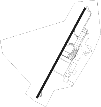
Culiacán - Culiacan Intl
Airport details
| Country | Mexico |
| State | Sinaloa |
| Region | MM |
| Airspace | Mazatlan Ctr |
| Municipality | Culiacán Rosales |
| Elevation | 104ft (32m) |
| Timezone | GMT -7 |
| Coordinates | 24.76426, -107.47359 |
| Magnetic var | |
| Type | land |
| Available since | X-Plane v10.40 |
| ICAO code | MMCL |
| IATA code | CUL |
| FAA code | n/a |
Communication
Nearby beacons
| code | identifier | dist | bearing | frequency |
|---|---|---|---|---|
| CUL | CULIACAN VOR/DME | 0.2 | 273° | 112.20 |
Departure and arrival routes
| Transition altitude | 18500ft |
| Transition level | 19500ft |
| SID end points | distance | outbound heading | |
|---|---|---|---|
| RW02 | |||
| XUKMA2 | 25mi | 20° | |
| ELEG1A | 70mi | 20° | |
| AVTA1A | 70mi | 79° | |
| LIDIK3 | 20mi | 102° | |
| MUVE1A | 50mi | 120° | |
| OLEX3A | 25mi | 120° | |
| IKBO1A | 70mi | 235° | |
| ILAV1A | 70mi | 257° | |
| BOKT2A | 25mi | 318° | |
| KIPA1A | 60mi | 319° | |
| PELSA1 | 25mi | 339° | |
| RW20 | |||
| ELEG1B | 70mi | 20° | |
| AVTA1B | 70mi | 79° | |
| OLEX3B | 25mi | 120° | |
| MUVE1B | 50mi | 120° | |
| DANOP3 | 25mi | 143° | |
| XORUB3 | 25mi | 159° | |
| VIVUX2 | 25mi | 213° | |
| IKBO1B | 70mi | 235° | |
| XOMGA3 | 25mi | 235° | |
| TOVER2 | 25mi | 257° | |
| ILAV1B | 70mi | 257° | |
| EVATE3 | 25mi | 300° | |
| BOKT2B | 25mi | 318° | |
| KIPA1B | 60mi | 319° | |
| STAR starting points | distance | inbound heading | |
|---|---|---|---|
| RW02 | |||
| OLAK1A | 70.2 | 32° | |
| ILAV1C | 70.1 | 77° | |
| NUBI1A | 52.8 | 120° | |
| ELEG1C | 70.1 | 200° | |
| AVTA1C | 69.7 | 259° | |
| SAVO1A | 82.8 | 282° | |
| MELB1A | 58.3 | 323° | |
| RW20 | |||
| OLAK1B | 70.2 | 32° | |
| ILAV1D | 70.1 | 77° | |
| NUBI1B | 52.8 | 120° | |
| ELEG1D | 70.1 | 200° | |
| AVTA1D | 69.7 | 259° | |
| SAVO1B | 82.8 | 282° | |
| MELB1B | 58.3 | 323° | |
Instrument approach procedures
| runway | airway (heading) | route (dist, bearing) |
|---|---|---|
| RW02 | BERUR (36°) | BERUR 4000ft CL401 (5mi, 35°) 2700ft |
| RW02 | USDAP (64°) | USDAP 4000ft CL401 (5mi, 121°) 2700ft |
| RW02 | VEVLO (6°) | VEVLO 4000ft CL401 (5mi, 301°) 2700ft |
| RNAV | CL401 2700ft CL400 (5mi, 35°) 1600ft MMCL (5mi, 37°) 147ft CL620 (7mi, 35°) VODAS (22mi, 269°) 5000ft VODAS (turn) 6000ft | |
| RW20 | OTIMA (208°) | OTIMA 4000ft CL501 (5mi, 194°) 2700ft |
| RW20 | SAVIR (238°) | SAVIR 4000ft CL501 (5mi, 282°) 2700ft |
| RW20 | TALNU (185°) | TALNU 4000ft CL501 (5mi, 121°) 2700ft |
| RNAV | CL501 2700ft CL500 (5mi, 216°) 1600ft MMCL (5mi, 214°) 155ft CL400 (5mi, 217°) VIRKI (16mi, 204°) 4000ft VIRKI (turn) 4000ft |
Disclaimer
The information on this website is not for real aviation. Use this data with the X-Plane flight simulator only! Data taken with kind consent from X-Plane 12 source code and data files. Content is subject to change without notice.