Tepic - Tepic Intl
Airport details
| Country | Mexico |
| State | Nayarit |
| Region | MM |
| Airspace | Mexico Ctr |
| Municipality | Tepic |
| Elevation | 3020ft (920m) |
| Timezone | GMT -7 |
| Coordinates | 21.41943, -104.84257 |
| Magnetic var | |
| Type | land |
| Available since | X-Plane v10.40 |
| ICAO code | MMEP |
| IATA code | TPQ |
| FAA code | n/a |
Communication
| Tepic Intl Tower | 118.800 |
Runway info
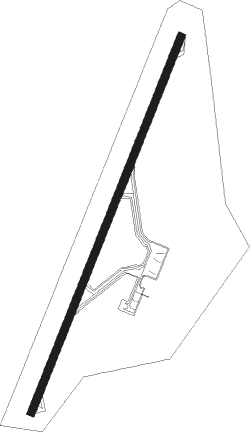
| Runway 02 / 20 | ||
| length | 2297m (7536ft) | |
| bearing | 28° / 208° | |
| width | 45m (148ft) | |
| surface | asphalt | |
| blast zone | 58m (190ft) / 58m (190ft) | |
Nearby beacons
| code | identifier | dist | bearing | frequency |
|---|---|---|---|---|
| TNY | TEPIC VOR/DME | 0.5 | 38° | 113.90 |
| PVR | VALLARTA (PUERTO VALLARTA VOR/DME | 49 | 209° | 116.50 |
Disclaimer
The information on this website is not for real aviation. Use this data with the X-Plane flight simulator only! Data taken with kind consent from X-Plane 12 source code and data files. Content is subject to change without notice.