Tehuacan
Airport details
| Country | Mexico |
| State | Puebla |
| Region | MM |
| Airspace | Mexico Ctr |
| Municipality | Tehuacán |
| Elevation | 5507ft (1679m) |
| Timezone | GMT -6 |
| Coordinates | 18.49065, -97.41682 |
| Magnetic var | |
| Type | land |
| Available since | X-Plane v10.40 |
| ICAO code | MMHC |
| IATA code | TCN |
| FAA code | n/a |
Communication
| Tehuacan UNICOM | 122.800 |
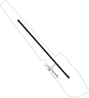
Runway info
| Runway 13 / 31 | ||
| length | 2011m (6598ft) | |
| bearing | 142° / 322° | |
| width | 35m (115ft) | |
| surface | asphalt | |
Nearby beacons
| code | identifier | dist | bearing | frequency |
|---|---|---|---|---|
| PBC | PUEBLA VOR/DME | 67.5 | 305° | 115.20 |
Disclaimer
The information on this website is not for real aviation. Use this data with the X-Plane flight simulator only! Data taken with kind consent from X-Plane 12 source code and data files. Content is subject to change without notice.