Poza Rica
Airport details
| Country | Mexico |
| State | Veracruz |
| Region | MM |
| Airspace | Mexico Ctr |
| Municipality | Terrenos del Lote 'San Miguel Mecatepec' |
| Elevation | 497ft (151m) |
| Timezone | GMT -6 |
| Coordinates | 20.60070, -97.46281 |
| Magnetic var | |
| Type | land |
| Available since | X-Plane v10.40 |
| ICAO code | MMPA |
| IATA code | PAZ |
| FAA code | n/a |
Communication
| Poza Rica Tower | 118.900 |
Runway info
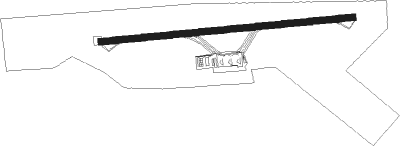
| Runway 08 / 26 | ||
| length | 1797m (5896ft) | |
| bearing | 89° / 269° | |
| width | 45m (148ft) | |
| surface | asphalt | |
| blast zone | 18m (59ft) / 61m (200ft) | |
Nearby beacons
| code | identifier | dist | bearing | frequency |
|---|---|---|---|---|
| PAZ | POZA RICA VOR/DME | 0.4 | 91° | 115.50 |
Disclaimer
The information on this website is not for real aviation. Use this data with the X-Plane flight simulator only! Data taken with kind consent from X-Plane 12 source code and data files. Content is subject to change without notice.