Kimberling City - Kimberling Airways
Airport details
| Country | United States of America |
| State | Missouri |
| Region | |
| Airspace | Memphis Ctr |
| Municipality | Stone County |
| Elevation | 1048ft (319m) |
| Timezone | GMT -6 |
| Coordinates | 36.61194, -93.44747 |
| Magnetic var | |
| Type | land |
| Available since | X-Plane v10.40 |
| ICAO code | MO64 |
| IATA code | n/a |
| FAA code | MO64 |
Communication
Nearby Points of Interest:
Stone County Courthouse
-W.D. Crawford House
-Berryville Gymnasium
-Berryville Agriculture Building
-Berryville Post Office
-Carroll County Courthouse, Eastern District
-Cricket and Crest Tunnels
-Concord School House
-Beaver Bridge (Arkansas)
-Sanitarium Lake Bridges Historic District
-Blue Springs Heritage Center
-U.S. 62 White River Bridge
-Yell Masonic Lodge Hall
-Quigley's Castle
-Haggard Ford Swinging Bridge
-Dog Branch School
-Lewis Shaw Coleman House
-Stamps Store
-Ozark Courthouse Square Historic District
-Grubb Springs School
-Harrison Courthouse Square Historic District
-Boone County Courthouse
-Evans-Kirby House
-Harrison High School
-Springfield to Fayetteville Road-Elkhorn Tavern Segment
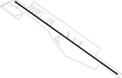
Runway info
| Runway 13 / 31 | ||
| length | 794m (2605ft) | |
| bearing | 124° / 304° | |
| width | 8m (25ft) | |
| surface | asphalt | |
Nearby beacons
| code | identifier | dist | bearing | frequency |
|---|---|---|---|---|
| HRO | HARRISON VOR/DME | 20.9 | 141° | 112.50 |
| DGD | DOGWOOD VORTAC | 36.9 | 54° | 109.40 |
| RZC | RAZORBACK (FAYETTEVILLE) VORTAC | 39.2 | 242° | 116.40 |
| SGF | SPRINGFIELD VORTAC | 45 | 9° | 116.90 |
| EOS | NEOSHO VOR/DME | 49.5 | 283° | 117.30 |
| FLP | DME | 51.3 | 108° | 116.05 |
Disclaimer
The information on this website is not for real aviation. Use this data with the X-Plane flight simulator only! Data taken with kind consent from X-Plane 12 source code and data files. Content is subject to change without notice.