Nueva California - Alvaro Berroa
Airport details
| Country | Panama |
| State | Chiriquí |
| Region | MP |
| Airspace | Panama Ctr |
| Municipality | Volcán |
| Elevation | 5000ft (1524m) |
| Timezone | GMT -5 |
| Coordinates | 8.77028, -82.66444 |
| Magnetic var | |
| Type | land |
| Available since | X-Plane v10.32 |
| ICAO code | MP21 |
| IATA code | n/a |
| FAA code | n/a |
Communication
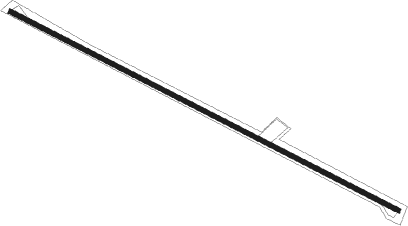
Runway info
| Runway 12 / 30 | ||
| length | 1991m (6532ft) | |
| bearing | 121° / 301° | |
| width | 20m (66ft) | |
| surface | asphalt | |
| displ threshold | 107m (351ft) / 107m (351ft) | |
Nearby beacons
| code | identifier | dist | bearing | frequency |
|---|---|---|---|---|
| DAV | DAVID VOR/DME | 26.7 | 149° | 114.30 |
| BDT | BOCAS DEL TORO VOR/DME | 42 | 36° | 114.90 |
Disclaimer
The information on this website is not for real aviation. Use this data with the X-Plane flight simulator only! Data taken with kind consent from X-Plane 12 source code and data files. Content is subject to change without notice.