Bozeman - Edsall Field
Airport details
| Country | United States of America |
| State | Montana |
| Region | |
| Airspace | Salt Lake City Ctr |
| Municipality | Gallatin County |
| Elevation | 4659ft (1420m) |
| Timezone | GMT -7 |
| Coordinates | 45.72410, -111.04300 |
| Magnetic var | |
| Type | land |
| Available since | X-Plane v10.40 |
| ICAO code | MT71 |
| IATA code | n/a |
| FAA code | MT71 |
Communication
Nearby Points of Interest:
Bohart House
-Beall Park Community Center
-Charles Lundwall Building
-Spieth and Krug Brewery
-Bozeman Carnegie Library
-Gallatin County Courthouse
-Gallatin County High School
-R.T. Barnett and Company Building
-Bon Ton Historic District
-Samuel Lewis House
-Bozeman National Fish Hatchery
-Belgrade City Hall and Jail
-Rolfson House
-Missouri Headwaters State Park
-Adams Block
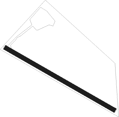
Runway info
| Runway 12 / 30 | ||
| length | 524m (1719ft) | |
| bearing | 116° / 296° | |
| width | 18m (60ft) | |
| surface | grass | |
Nearby beacons
| code | identifier | dist | bearing | frequency |
|---|---|---|---|---|
| BZN | BOZEMAN VOR/DME | 5.9 | 298° | 112.40 |
| BZ | MANNI (BOZEMAN) NDB | 13.4 | 301° | 266 |
| LVM | LIVINGSTON VOR/DME | 25.2 | 92° | 116.10 |
| EKS | ENNIS NDB | 37.5 | 233° | 286 |
| HAU | HAUSER (HELENA) NDB | 58.8 | 320° | 386 |
| HLN | HELENA VORTAC | 65.1 | 314° | 117.70 |
Disclaimer
The information on this website is not for real aviation. Use this data with the X-Plane flight simulator only! Data taken with kind consent from X-Plane 12 source code and data files. Content is subject to change without notice.