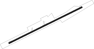
North Eleuthera
Airport details
| Country | Bahamas |
| State | Harbour Island |
| Region | MY |
| Airspace | Nassau Ctr |
| Municipality | North Eleuthera |
| Elevation | 13ft (4m) |
| Timezone | GMT -5 |
| Coordinates | 25.47563, -76.68137 |
| Magnetic var | |
| Type | land |
| Available since | X-Plane v10.40 |
| ICAO code | MYEH |
| IATA code | ELH |
| FAA code | n/a |
Communication
| North Eleuthera AWOS | 118.100 |
| North Eleuthera Unicom | 122.800 |
| North Eleuthera Nassau Radio | 128.000 |
Nearby beacons
| code | identifier | dist | bearing | frequency |
|---|---|---|---|---|
| ZQA | NASSAU VOR/DME | 49.5 | 240° | 112.70 |
Departure and arrival routes
| Transition altitude | 18000ft |
| Transition level | 18000ft |
| SID end points | distance | outbound heading | |
|---|---|---|---|
| RW07 | |||
| LENKY2 | 43mi | 228° | |
| RW25 | |||
| CHOIE2 | 43mi | 228° | |
Instrument approach procedures
| runway | airway (heading) | route (dist, bearing) |
|---|---|---|
| RW07 | MAPRE (47°) | MAPRE JEDIK (5mi, 336°) 2300ft |
| RW07 | ZOLGO (92°) | ZOLGO JEDIK (5mi, 156°) 2300ft |
| RNAV | JEDIK 2300ft LOBNE (6mi, 70°) 1600ft MYEH (5mi, 70°) 64ft (4684mi, 108°) 430ft ZOLGO (4697mi, 288°) 2300ft ZOLGO (turn) |
Disclaimer
The information on this website is not for real aviation. Use this data with the X-Plane flight simulator only! Data taken with kind consent from X-Plane 12 source code and data files. Content is subject to change without notice.
