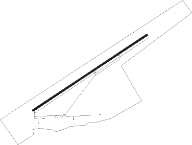
Freeport - Grand Bahama Intl
Airport details
| Country | Bahamas |
| State | Freeport |
| Region | MY |
| Airspace | Nassau Ctr |
| Municipality | City of Freeport |
| Elevation | 3ft (1m) |
| Timezone | GMT -5 |
| Coordinates | 26.55869, -78.69555 |
| Magnetic var | |
| Type | land |
| Available since | X-Plane v10.40 |
| ICAO code | MYGF |
| IATA code | FPO |
| FAA code | n/a |
Communication
| Grand Bahama Intl AWOS | 119.275 |
| Grand Bahama Intl Ground Control | 121.700 |
| Grand Bahama Intl Tower | 118.500 |
| Grand Bahama Intl Approach | 126.500 |
Approach frequencies
| ILS-cat-I | RW06 | 109.7 | 18.00mi |
| 3° GS | RW06 | 109.7 | 18.00mi |
Nearby beacons
| code | identifier | dist | bearing | frequency |
|---|---|---|---|---|
| ZFP | FREEPORT VOR/DME | 0.2 | 215° | 113.20 |
| BHF | ISLANDS (FREEPORT) NDB | 1.9 | 65° | 326 |
| ZFP | FREEPORT NDB | 4.9 | 243° | 209 |
| ZWE | WEST END (GRAND BAHAMA I) NDB | 17 | 295° | 317 |
| ZWC | WALKER CAY NDB | 44.5 | 23° | 280 |
| ZBV | BIMINI VORTAC | 60.6 | 215° | 116.70 |
Departure and arrival routes
| Transition altitude | 18000ft |
| Transition level | 18000ft |
| SID end points | distance | outbound heading | |
|---|---|---|---|
| RW06 | |||
| BUUCK2 | 21mi | 287° | |
| RW24 | |||
| JOAAN2 | 21mi | 287° | |
Instrument approach procedures
| runway | airway (heading) | route (dist, bearing) |
|---|---|---|
| RW06 | JENIB (85°) | JENIB 2000ft CURIX (5mi, 148°) 2000ft |
| RW06 | NODOE (41°) | NODOE 2000ft CURIX (5mi, 328°) 2000ft |
| RNAV | CURIX 2000ft JIPKA (6mi, 63°) 1600ft EROLL (3mi, 63°) 694ft MYGF (3mi, 64°) 57ft MAJEN (2mi, 64°) GIGNE (11mi, 37°) 2000ft GIGNE (turn) | |
| RW24 | GIGNE (221°) | GIGNE 2000ft BAAMA (5mi, 148°) 2000ft |
| RW24 | ZUPOD (265°) | ZUPOD 2000ft BAAMA (5mi, 328°) 2000ft |
| RNAV | BAAMA 2000ft LESTR (6mi, 244°) 1600ft MYGF (6mi, 244°) 57ft AQUIL (2mi, 244°) JENIB (11mi, 268°) 2000ft JENIB (turn) |
Disclaimer
The information on this website is not for real aviation. Use this data with the X-Plane flight simulator only! Data taken with kind consent from X-Plane 12 source code and data files. Content is subject to change without notice.