Grand Bahama - Grand Bahama Aux Af
Airport details
| Country | Bahamas |
| State | High Rock |
| Region | |
| Airspace | Nassau Ctr |
| Municipality | East Grand Bahama |
| Elevation | 4ft (1m) |
| Timezone | GMT -5 |
| Coordinates | 26.62547, -78.36836 |
| Magnetic var | |
| Type | land |
| Available since | X-Plane v10.40 |
| ICAO code | MYGM |
| IATA code | GBI |
| FAA code | n/a |
Communication
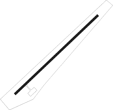
Runway info
| Runway 5 / 23 | ||
| length | 2197m (7208ft) | |
| bearing | 54° / 234° | |
| width | 46m (150ft) | |
| surface | asphalt | |
| blast zone | 50m (164ft) / 100m (328ft) | |
Nearby beacons
| code | identifier | dist | bearing | frequency |
|---|---|---|---|---|
| BHF | ISLANDS (FREEPORT) NDB | 16.1 | 260° | 326 |
| ZFP | FREEPORT VOR/DME | 18.1 | 258° | 113.20 |
| ZFP | FREEPORT NDB | 22.7 | 255° | 209 |
| ZWE | WEST END (GRAND BAHAMA I) NDB | 32.9 | 276° | 317 |
| ZWC | WALKER CAY NDB | 37.6 | 357° | 280 |
| ZBV | BIMINI VORTAC | 74.5 | 225° | 116.70 |
Disclaimer
The information on this website is not for real aviation. Use this data with the X-Plane flight simulator only! Data taken with kind consent from X-Plane 12 source code and data files. Content is subject to change without notice.