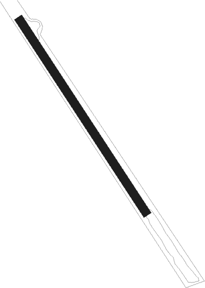
Airports for X-Plane offers a convenient way to explore airports and their related communication information for the X-Plane flight simulator. It only uses data from the X-Plane flight simulator itself, and is therefore more reliable than the data that comes from real aviation websites. You can search for airports by using the ICAO code, or browse for airports per country and state. The information displayed is categorized by airport details, runway information, airport communication, approach frequencies (ILS and Glidepath details), details of nearby beacons, SIDs, STARs and approach procedures.

downtown public transport outskirts automated airport weather station heliport luggage flights station passenger helicopters non-towered airport rail flown road airport check-in aerodrome helipad airspeed landing area concrete

May Creek

Airport details

CountryUnited States of America
StateAlaska
Region
MunicipalityCopper River
Elevation1681ft (512m)
TimezoneGMT -9
Coordinates61.34005, -142.69040
Magnetic var
Typeland
Available sinceX-Plane v10.40
ICAO codeMYK
IATA codeMYK
FAA codeMYK

Communication

No airport communication available for MYK
Nearby Points of Interest:
McCarthy General Store

Runway info

Runway 13 / 31
 length824m (2703ft)
 bearing131° / 311°
 width30m (100ft)
 surfacegrass
 displ threshold0m (0ft) / 331m (1086ft)

Airport layout


Parking locations

Disclaimer

The information on this website is not for real aviation. Use this data with the X-Plane flight simulator only! Data taken with kind consent from X-Plane 12 source code and data files. Content is subject to change without notice.