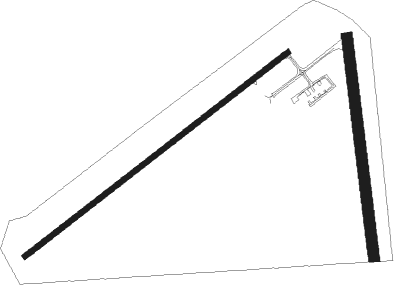
Albion - Punxsutawney Muni
Airport details
| Country | United States of America |
| State | Pennsylvania |
| Region | K6 |
| Airspace | Cleveland Ctr |
| Municipality | Bell Township |
| Elevation | 1437ft (438m) |
| Timezone | GMT -5 |
| Coordinates | 40.96667, -78.93001 |
| Magnetic var | |
| Type | land |
| Available since | X-Plane v10.40 |
| ICAO code | N35 |
| IATA code | n/a |
| FAA code | n/a |
Communication
| Punxsutawney Muni CTAF/UNICOM | 123.000 |
Nearby Points of Interest:
T. M. Kurtz House
-Jefferson Theater
-Christian Miller House
-Herpel Brothers Foundry and Machine Shop
-Sen. Joseph O. Clark House
-Irvin-Patchin House
-John B. McCormick House
-DuBois Historic District
-Phillip Taylor House
-Bridge in Greenwood Township
-Brookville Historic District
-Brookville Presbyterian Church and Manse
-Joseph E. Hall House
-Gray-Taylor House
-Thomas Marshall House (Dayton, Pennsylvania)
-Bridge in Westover Borough
-Brockway station
-Redferd Segers House
-Colwell Cut Viaduct
-Hogback Bridge
-Joseph F. and Anna B. Schrot Farm
-S. B. Elliott State Park Day Use District
-S. B. Elliott State Park Family Cabin District
-Clearfield Armory
-George Diehl Homestead

Nearby beacons
| code | identifier | dist | bearing | frequency |
|---|---|---|---|---|
| CIP | DME | 26.2 | 289° | 112.90 |
| REC | REVLOC VOR/DME | 26.5 | 156° | 110.60 |
| ETG | KEATING VORTAC | 38.6 | 72° | 116 |
| JST | JOHNSTOWN VOR/DME | 39.2 | 172° | 113 |
| PSB | PHILIPSBURG VORTAC | 42.6 | 93° | 115.50 |
| TDT | DME | 49.9 | 327° | 117.60 |
| FKL | FRANKLIN VOR | 50.5 | 297° | 109.60 |
| BFD | DME | 51.1 | 21° | 116.60 |
| SYS | STOYSTOWN (SOMERSET) NDB | 52.9 | 179° | 209 |
| SLT | SLATE RUN VORTAC | 54.3 | 60° | 113.90 |
| IHD | INDIAN HEAD VORTAC | 62.7 | 203° | 108.20 |
Instrument approach procedures
| runway | airway (heading) | route (dist, bearing) |
|---|---|---|
| RW24 | REC (336°) | REC LATEC (29mi, 5°) 4200ft LATEC (turn) 4000ft |
| RNAV | LATEC 4000ft HEMOK (5mi, 266°) 3700ft N35 (6mi, 243°) 1467ft (4905mi, 117°) 1839ft LATEC (4895mi, 298°) 4000ft LATEC (turn) |
Disclaimer
The information on this website is not for real aviation. Use this data with the X-Plane flight simulator only! Data taken with kind consent from X-Plane 12 source code and data files. Content is subject to change without notice.