West End - Oneonta Muni
Airport details
| Country | United States of America |
| State | New York |
| Region | K6 |
| Airspace | Boston Ctr |
| Municipality | Town of Laurens |
| Elevation | 1764ft (538m) |
| Timezone | GMT -5 |
| Coordinates | 42.52478, -75.06448 |
| Magnetic var | |
| Type | land |
| Available since | X-Plane v10.40 |
| ICAO code | N66 |
| IATA code | n/a |
| FAA code | n/a |
Communication
| Oneonta Muni AWOS 3 | 119.575 |
| Oneonta Muni CTAF/UNICOM | 122.800 |
Nearby Points of Interest:
Kenyon Residences
-Bresee Hall
-Walnut Street Historic District
-Fairchild Mansion
-George I. Wilber House
-Old Post Office
-Municipal Building
-Oneonta Downtown Historic District
-Ford Block
-Oneonta Armory
-Swart-Wilcox House
-Zion Episcopal Church Complex and Harmony Cemetery
-Morris Village Historic District
-West Meredith Cemetery
-Chapin Memorial Church
-West Kortright Presbyterian Church
-Franklin Village Historic District
-New Stone Hall
-Otsego County Courthouse
-United States Post Office
-Horace O. Moss House
-South Worcester Historic District
-Middlefield Hamlet Historic District
-Worcester Historic District
-Schoolhouse No. 5
Runway info
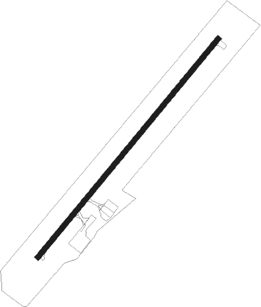
| Runway 6 / 24 | ||
| length | 1279m (4196ft) | |
| bearing | 53° / 233° | |
| width | 23m (75ft) | |
| surface | asphalt | |
Nearby beacons
| code | identifier | dist | bearing | frequency |
|---|---|---|---|---|
| RKA | ROCKDALE VOR/DME | 8.4 | 252° | 112.60 |
| DNY | DE LANCEY VOR/DME | 21.3 | 163° | 112.10 |
| HNK | HANCOCK VOR/DME | 29.9 | 209° | 116.80 |
| UCA | UTICA TACAN | 30.4 | 349° | 111.20 |
| GGT | GEORGETOWN TACAN | 37.2 | 289° | 117.80 |
| JJH | JOHNSTOWN NDB | 43 | 57° | 523 |
Instrument approach procedures
| runway | airway (heading) | route (dist, bearing) |
|---|---|---|
| RW06 | CIYAY (28°) | CIYAY WODIT (5mi, 306°) 4500ft |
| RW06 | JUVAM (72°) | JUVAM WODIT (5mi, 126°) 4500ft |
| RW06 | WODIT (53°) | WODIT 4500ft |
| RNAV | WODIT 4500ft TIYUL (6mi, 53°) 3600ft N66 (6mi, 53°) 1818ft RIYOV (6mi, 53°) UYUNI (9mi, 126°) OYADU (18mi, 233°) WODIT (9mi, 306°) 4500ft WODIT (turn) | |
| RW24 | CITET (208°) | CITET 4600ft OSIYE (5mi, 126°) 4500ft |
| RW24 | JUDOV (252°) | JUDOV 5300ft OSIYE (5mi, 306°) 4500ft |
| RW24 | OSIYE (233°) | OSIYE 4500ft |
| RNAV | OSIYE 4500ft RIYOV (6mi, 233°) 3600ft N66 (6mi, 233°) 1790ft WODIT (12mi, 233°) 4500ft WODIT (turn) |
Disclaimer
The information on this website is not for real aviation. Use this data with the X-Plane flight simulator only! Data taken with kind consent from X-Plane 12 source code and data files. Content is subject to change without notice.