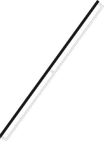
Concord - Propst
Airport details
| Country | United States of America |
| State | North Carolina |
| Region | |
| Airspace | Atlanta Ctr |
| Municipality | Concord |
| Elevation | 621ft (189m) |
| Timezone | GMT -5 |
| Coordinates | 35.38809, -80.57922 |
| Magnetic var | |
| Type | land |
| Available since | X-Plane v10.40 |
| ICAO code | NC19 |
| IATA code | n/a |
| FAA code | NC19 |
Communication
Nearby Points of Interest:
Barber–Scotia College
-Cabarrus County Courthouse
-Stonewall Jackson Youth Development Center
-Odell-Locke-Randolph Cotton Mill
-Rocky River Presbyterian Church
-Harvey Jeremiah Peeler House
-Mount Pleasant Collegiate Institute Historic District
-Mount Pleasant Historic District
-First Congregational Church
-Robert Harvey Morrison Farm and Pioneer Mills Gold Mine
-Spears House
-Reed Gold Mine
-China Grove Roller Mill
-Kerr Mill
-Neal Somers Alexander House
-Beaver Dam Plantation House
-Rosedale
-Hezekiah Alexander House
-North Charlotte Historic District
-Highland Park Manufacturing Company Mill No. 3
-Philanthropic Hall, Davidson College
-VanLandingham Estate
-Bishop John C. Kilgo House
-Chairman Blake House
-Eumenean Hall
Nearby beacons
| code | identifier | dist | bearing | frequency |
|---|---|---|---|---|
| RU | ROVDY (SALISBURY) NDB | 21.1 | 15° | 275 |
| CLT | CHARLOTTE VOR/DME | 21.7 | 242° | 115 |
| VU | ALLER (ALBEMARLE) NDB | 25 | 78° | 346 |
| GHJ | STONIA (GASTONIA) NDB | 30.7 | 251° | 260 |
| UZ | RALLY (ROCK HILL) NDB | 38.7 | 225° | 227 |
| LKR | LANCASTER NDB | 42.2 | 203° | 400 |
| HK | TAWBA (HICKORY) NDB | 42.7 | 299° | 332 |
| BZM | BARRETTS MOUNTAIN (HICKOR VOR/DME | 43.3 | 306° | 113.75 |
| IN | REENO (WINSTON SALEM) NDB | 45.6 | 31° | 317 |
| CTF | CHESTERFIELD VOR/DME | 46.7 | 158° | 108.20 |
| DCM | CHESTER NDB | 47.3 | 226° | 220 |
| GSO | GREENSBORO VORTAC | 49.2 | 43° | 116.20 |
| SDZ | SANDHILLS (SOUTHERN PINES VORTAC | 49.6 | 100° | 111.80 |
| LIB | LIBERTY VORTAC | 53.6 | 66° | 113 |
| HB | ALAMM NDB | 60 | 59° | 361 |
| BES | BENNETTSVILLE NDB | 62.1 | 132° | 230 |
| HVS | HARTSVILLE NDB | 63.1 | 155° | 341 |
| UDG | DARLINGTON NDB | 66.1 | 144° | 245 |
| SIF | SLAMMER (REIDSVILLE) NDB | 71.6 | 39° | 423 |
Disclaimer
The information on this website is not for real aviation. Use this data with the X-Plane flight simulator only! Data taken with kind consent from X-Plane 12 source code and data files. Content is subject to change without notice.
