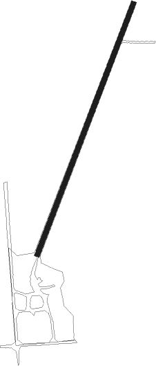
Liberty - Thomas
Airport details
| Country | United States of America |
| State | Nebraska |
| Region | |
| Airspace | Minneapolis Ctr |
| Municipality | Liberty |
| Elevation | 1350ft (411m) |
| Timezone | GMT -6 |
| Coordinates | 40.08903, -96.48079 |
| Magnetic var | |
| Type | land |
| Available since | X-Plane v10.40 |
| ICAO code | NE57 |
| IATA code | n/a |
| FAA code | NE57 |
Communication
Nearby Points of Interest:
Harold Lloyd Birthplace
-Lake Bridenthal House
-Elijah Filley Stone Barn
-First Commercial Bank
-Pawnee County Courthouse
-Beatrice Chautauqua Pavilion
-Beatrice Downtown Historic District
-Gage County Courthouse
-Christ Church Episcopal
-Rachel Kilpatrick Purdy House
-Marshall County Courthouse
-Koester Block Historic District
-Rad Jan Kollar cis 101 Z.C.B.J.
-Colman House
-Tecumseh Opera House
-Johnson County Courthouse
-John Holman House
-Alfred and Magdalena Schmid Farmstead
-Washington County Courthouse
Nearby beacons
| code | identifier | dist | bearing | frequency |
|---|---|---|---|---|
| PWE | PAWNEE CITY VORTAC | 14.2 | 68° | 112.40 |
| BIE | BEATRICE VOR | 17.9 | 308° | 110.60 |
| FBY | FAIRBURY NDB | 31.8 | 277° | 293 |
| LN | POTTS (LINCOLN) NDB | 41.5 | 337° | 385 |
| AFK | NEBRASKA CITY NDB | 42 | 50° | 347 |
| LNK | LINCOLN VORTAC | 51.5 | 343° | 116.10 |
| MHK | MANHATTAN VOR/DME | 57.3 | 191° | 110.20 |
| PMV | PLATTSMOUTH NDB | 57.5 | 34° | 329 |
| TO | BILOY (TOPEKA) NDB | 68.7 | 141° | 521 |
| TOP | TOPEKA VORTAC | 71.5 | 136° | 117.80 |
Disclaimer
The information on this website is not for real aviation. Use this data with the X-Plane flight simulator only! Data taken with kind consent from X-Plane 12 source code and data files. Content is subject to change without notice.
