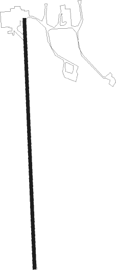
Milford - Roth
Airport details
| Country | United States of America |
| State | Nebraska |
| Region | |
| Airspace | Minneapolis Ctr |
| Municipality | Seward County |
| Elevation | 1484ft (452m) |
| Timezone | GMT -6 |
| Coordinates | 40.77026, -97.07694 |
| Magnetic var | |
| Type | land |
| Available since | X-Plane v10.40 |
| ICAO code | NE65 |
| IATA code | n/a |
| FAA code | NE65 |
Communication
Nearby Points of Interest:
Seward County Courthouse
-Harry T. Jones House
-John Cattle Jr. House
-Frank J. Rademacher House
-Doane College Historic Buildings
-Z.C.B.J. Rad Tabor No. 74
-Deutsche Evangelisch Lutherische Zion Kirche
-Rad Saline Center cis. 389 Z.C.B.J.
-South Bottoms Historic District
-James D. Calhoun House
-City Hall
-Terminal Building
-First National Bank Building
-Lincoln Liberty Life Insurance Building
-Burckhardt House
-Federal Trust Building
-Stuart Building
-Nebraska Governor's Mansion
-Scottish Rite Temple
-William H. Ferguson House
-Thomas P. Kennard House
-Masonic Temple
-Aeneas Yates-Charles Hurlbut House
-Lewis-Syford House
-R.O. Phillips House
Nearby beacons
| code | identifier | dist | bearing | frequency |
|---|---|---|---|---|
| LN | POTTS (LINCOLN) NDB | 14.3 | 94° | 385 |
| LNK | LINCOLN VORTAC | 17.7 | 65° | 116.10 |
| FMZ | BEKLOF (FAIRMONT) NDB | 24.8 | 250° | 392 |
| JYR | YORK NDB | 25.7 | 283° | 257 |
| BIE | BEATRICE VOR | 31.7 | 145° | 110.60 |
| AHQ | WAHOO NDB | 35.5 | 46° | 400 |
| FBY | FAIRBURY NDB | 35.8 | 189° | 293 |
| OLU | COLUMBUS VOR/DME | 42.5 | 339° | 111.80 |
| PLT | PLATTE CENTER (COLUMBUS) NDB | 45.7 | 337° | 407 |
| PWE | PAWNEE CITY VORTAC | 52.4 | 123° | 112.40 |
| SCB | SCRIBNER VOR/DME | 54 | 28° | 111 |
Disclaimer
The information on this website is not for real aviation. Use this data with the X-Plane flight simulator only! Data taken with kind consent from X-Plane 12 source code and data files. Content is subject to change without notice.