Rabi Island - Rabi
Airport details
| Country | Fiji |
| State | Northern |
| Region | |
| Municipality | Cakaudrove |
| Elevation | 18ft (5m) |
| Timezone | GMT +12 |
| Coordinates | -16.53191, 179.97374 |
| Magnetic var | |
| Type | land |
| Available since | X-Plane v10.40 |
| ICAO code | NFFR |
| IATA code | RBI |
| FAA code | n/a |
Communication
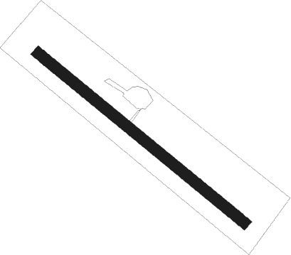
Runway info
| Runway 13 / 31 | ||
| length | 578m (1896ft) | |
| bearing | 133° / 313° | |
| width | 24m (79ft) | |
| surface | dirt | |
Nearby beacons
| code | identifier | dist | bearing | frequency |
|---|---|---|---|---|
| LB | LABASA VOR/DME | 38.5 | 280° | 115.10 |
Disclaimer
The information on this website is not for real aviation. Use this data with the X-Plane flight simulator only! Data taken with kind consent from X-Plane 12 source code and data files. Content is subject to change without notice.