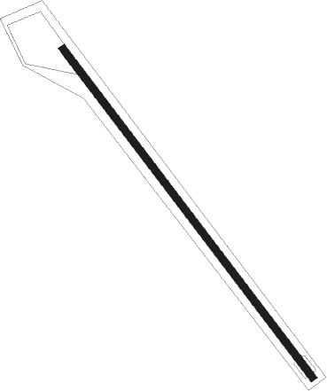
Las Cruces - Burris E Ranch
Airport details
| Country | United States of America |
| State | New Mexico |
| Region | |
| Airspace | Albuquerque Ctr |
| Municipality | Doña Ana County |
| Elevation | 4398ft (1341m) |
| Timezone | GMT -7 |
| Coordinates | 32.31084, -107.29625 |
| Magnetic var | |
| Type | land |
| Available since | X-Plane v10.40 |
| ICAO code | NM14 |
| IATA code | n/a |
| FAA code | NM14 |
Communication
Nearby Points of Interest:
Rio Grande Bridge at Radium Springs
-Luna County Courthouse
-Morgan Hall
-Downtown Deming Historic District
-Mahoney Building
-Deming Main Post Office
-Dona Ana Village Historic District
-Mesilla Plaza
-Alameda-Depot Historic District
-Thomas Branigan Memorial Library
-Rio Grande Theatre
-Mesilla Park Historic District
-Mesilla Park Elementary School
-Hadley-Ludwick House
-Nason House
-Goddard Hall
-Foster Hall
-Frank and Amelia Jones House
-Village of Columbus and Camp Furlong
Runway info
| Runway 14 / 32 | ||
| length | 700m (2297ft) | |
| bearing | 143° / 323° | |
| width | 12m (40ft) | |
| surface | dirt | |
Nearby beacons
| code | identifier | dist | bearing | frequency |
|---|---|---|---|---|
| DMN | DEMING VORTAC | 15.8 | 263° | 108.60 |
| CUS | COLUMBUS VOR/DME | 32.7 | 210° | 111.20 |
| SV | COZEY (SILVER CITY) NDB | 43.3 | 293° | 251 |
| SVC | SILVER CITY VOR/DME | 48 | 291° | 110.80 |
| EL | VALTR (EL PASO) NDB | 56.6 | 115° | 242 |
| TCS | TRUTH OR CONSEQUENCES VORTAC | 58.3 | 1° | 112.70 |
| CJS | JUAREZ (CIUDAD JUAREZ) VOR/DME | 60 | 128° | 116.70 |
Disclaimer
The information on this website is not for real aviation. Use this data with the X-Plane flight simulator only! Data taken with kind consent from X-Plane 12 source code and data files. Content is subject to change without notice.
