Nara Visa - Camco Ranch
Airport details
| Country | United States of America |
| State | New Mexico |
| Region | |
| Airspace | Albuquerque Ctr |
| Municipality | Quay |
| Elevation | 4253ft (1296m) |
| Timezone | GMT -7 |
| Coordinates | 35.57472, -103.28722 |
| Magnetic var | |
| Type | land |
| Available since | X-Plane v10.40 |
| ICAO code | NM52 |
| IATA code | n/a |
| FAA code | NM52 |
Communication
Nearby Points of Interest:
Nara Visa School
-Amistad Gymnasium
-Arch Hurley Conservancy District Office Building
-Baca-Goodman House
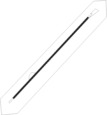
Runway info
| Runway 03 / 21 | ||
| length | 881m (2890ft) | |
| bearing | 53° / 233° | |
| width | 12m (40ft) | |
| surface | dirt | |
Nearby beacons
| code | identifier | dist | bearing | frequency |
|---|---|---|---|---|
| TCC | TUCUMCARI VORTAC | 28 | 218° | 113.60 |
| DHT | DALHART VORTAC | 47.6 | 55° | 112 |
Disclaimer
The information on this website is not for real aviation. Use this data with the X-Plane flight simulator only! Data taken with kind consent from X-Plane 12 source code and data files. Content is subject to change without notice.