Anaa
Airport details
| Country | France |
| State | French Polynesia |
| Region | NT |
| Airspace | Tahiti Oceanic Ctr |
| Municipality | Anaa |
| Elevation | 20ft (6m) |
| Timezone | GMT -10 |
| Coordinates | -17.35500, -145.50833 |
| Magnetic var | |
| Type | land |
| Available since | X-Plane v10.32 |
| ICAO code | NTGA |
| IATA code | AAA |
| FAA code | n/a |
Communication
| Anaa Tahiti Control | 123.500 |
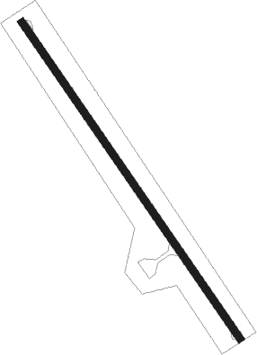
Runway info
| Runway 14 / 32 | ||
| length | 1506m (4941ft) | |
| bearing | 149° / 329° | |
| width | 30m (98ft) | |
| surface | asphalt | |
| displ threshold | 0m (0ft) / 46m (151ft) | |
Nearby beacons
| code | identifier | dist | bearing | frequency |
|---|---|---|---|---|
| AA | ANAA NDB | 0 | 209° | 332 |
Disclaimer
The information on this website is not for real aviation. Use this data with the X-Plane flight simulator only! Data taken with kind consent from X-Plane 12 source code and data files. Content is subject to change without notice.