Pukarua
Airport details
| Country | France |
| State | French Polynesia |
| Region | NT |
| Airspace | Tahiti Oceanic Ctr |
| Municipality | Reao |
| Elevation | 13ft (4m) |
| Timezone | GMT -10 |
| Coordinates | -18.29608, -137.01590 |
| Magnetic var | |
| Type | land |
| Available since | X-Plane v10.40 |
| ICAO code | NTGQ |
| IATA code | PUK |
| FAA code | n/a |
Communication
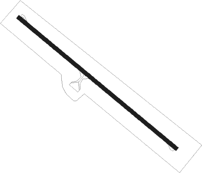
Runway info
| Runway 12 / 30 | ||
| length | 1185m (3888ft) | |
| bearing | 133° / 313° | |
| width | 23m (75ft) | |
| surface | asphalt | |
Nearby beacons
| code | identifier | dist | bearing | frequency |
|---|---|---|---|---|
| RE | REAO NDB | 34.1 | 106° | 327 |
Disclaimer
The information on this website is not for real aviation. Use this data with the X-Plane flight simulator only! Data taken with kind consent from X-Plane 12 source code and data files. Content is subject to change without notice.