Reno - Air Sailing Gliderport
Airport details
| Country | United States of America |
| State | Nevada |
| Region | |
| Airspace | Oakland Ctr |
| Municipality | Washoe County |
| Elevation | 4297ft (1310m) |
| Timezone | GMT -8 |
| Coordinates | 39.87213, -119.70102 |
| Magnetic var | |
| Type | land |
| Available since | X-Plane v10.30 |
| ICAO code | NV23 |
| IATA code | n/a |
| FAA code | NV23 |
Communication
Nearby Points of Interest:
Beckwourth Pass
-Immaculate Conception Church (Sparks, Nevada)
-Mary Lee Nichols School
-Robison House (Sparks, Nevada)
-Washoe County Library-Sparks Branch
-Bank of Sparks
-University of Nevada Reno Historic District
-Morrill Hall
-Alpha Tau Omega Fraternity House (Reno, Nevada)
-Field Matron's Cottage
-Nevada-California-Oregon Railway Locomotive House and Machine Shop
-Nevada-California-Oregon Railroad Depot
-Benson Dillon Billinghurst House
-Twaddle Mansion
-Humphrey House (Reno, Nevada)
-Borland-Clifford House
-Francovich House
-Nystrom Guest House
-Reno National Bank-First Interstate Bank
-Vachina Apartments-California Apartments
-Virginia Street Bridge
-Washoe County Courthouse
-Bethel AME Church
-20th Century Club
-Washoe County Library
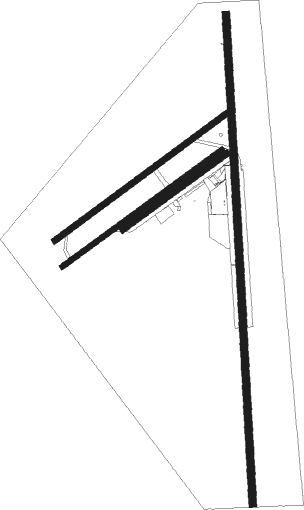
Runway info
Runway 17 / 35  | ||
| length | 390m (1280ft) | |
| bearing | 182° / 2° | |
| width | 6m (20ft) | |
| surface | asphalt | |
| Runway 4C / 22C | ||
| length | 388m (1273ft) | |
| bearing | 64° / 244° | |
| width | 6m (20ft) | |
| surface | asphalt | |
| Runway 04R / 22L | ||
| length | 635m (2083ft) | |
| bearing | 65° / 245° | |
| width | 30m (100ft) | |
| surface | dirt | |
| Runway 4L / 22R | ||
| length | 1047m (3435ft) | |
| bearing | 64° / 244° | |
| width | 30m (100ft) | |
| surface | dirt | |
| Runway 05 / 23 | ||
| length | 971m (3186ft) | |
| bearing | 65° / 245° | |
| width | 27m (90ft) | |
| surface | dirt | |
| Runway 17L / 35R | ||
| length | 2412m (7913ft) | |
| bearing | 182° / 2° | |
| width | 37m (120ft) | |
| surface | dirt | |
Nearby beacons
| code | identifier | dist | bearing | frequency |
|---|---|---|---|---|
| FMG | MUSTANG (RENO) VORTAC | 20.5 | 172° | 117.90 |
| AHC | AMEDEE (HERLONG) VOR/DME | 31.5 | 311° | 109 |
| HZN | HAZEN VORTAC | 38.8 | 117° | 114.10 |
| SWR | SQUAW VALLEY(SOUTH LAKE T VOR/DME | 49.1 | 219° | 113.20 |
| NFL | FALLON TACAN | 53.5 | 115° | 113.50 |
Disclaimer
The information on this website is not for real aviation. Use this data with the X-Plane flight simulator only! Data taken with kind consent from X-Plane 12 source code and data files. Content is subject to change without notice.