Pahrump - Calvada Meadows
Airport details
| Country | United States of America |
| State | Nevada |
| Region | K2 |
| Airspace | Los Angeles Ctr |
| Municipality | Pahrump |
| Elevation | 2726ft (831m) |
| Timezone | GMT -8 |
| Coordinates | 36.27107, -115.99503 |
| Magnetic var | |
| Type | land |
| Available since | X-Plane v10.40 |
| ICAO code | NV74 |
| IATA code | n/a |
| FAA code | 74P |
Communication
| Calvada Meadows CTAF/UNICOM | 122.800 |
Nearby Points of Interest:
amargosa opera house & hotel
-Sandstone Ranch
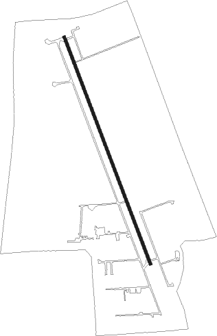
Runway info
| Runway 15 / 33 | ||
| length | 1248m (4094ft) | |
| bearing | 160° / 340° | |
| width | 15m (48ft) | |
| surface | asphalt | |
| displ threshold | 61m (200ft) / 0m (0ft) | |
Nearby beacons
| code | identifier | dist | bearing | frequency |
|---|---|---|---|---|
| INS | INDIAN SPRINGS TACAN | 24.5 | 46° | 114 |
| GOG | DME | 33.1 | 127° | 112.05 |
| LAS | LAS VEGAS VORTAC | 42 | 103° | 116.90 |
| LSV | NELLIS (LAS VEGAS) TACAN | 46.9 | 92° | 135.50 |
| BTY | BEATTY VORTAC | 48.2 | 305° | 114.70 |
| MCY | MICKEY (MERCURY) VORTAC | 59.1 | 12° | 117.50 |
Disclaimer
The information on this website is not for real aviation. Use this data with the X-Plane flight simulator only! Data taken with kind consent from X-Plane 12 source code and data files. Content is subject to change without notice.