Bourail / Poé - Bourail Poe
Airport details
| Country | France |
| State | [Other] |
| Region | NW |
| Municipality | Bourail |
| Elevation | 4ft (1m) |
| Timezone | GMT +11 |
| Coordinates | -21.60972, 165.39722 |
| Magnetic var | |
| Type | land |
| Available since | X-Plane v10.40 |
| ICAO code | NWWB |
| IATA code | n/a |
| FAA code | n/a |
Communication
Nearby Points of Interest:
Passerelle Marguerite
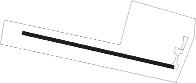
Runway info
| Runway 09 / 27 | ||
| length | 801m (2628ft) | |
| bearing | 106° / 286° | |
| width | 18m (59ft) | |
| surface | asphalt | |
Nearby beacons
| code | identifier | dist | bearing | frequency |
|---|---|---|---|---|
| HL | HOUAILOU NDB | 24.2 | 31° | 284 |
| KQ | KONE NDB | 42.2 | 314° | 305 |
| NW | TONTOUTA (NOUMEA) NDB | 42.6 | 116° | 325 |
| TH | TOUHO NDB | 49.8 | 350° | 256 |
| FND | TONTOUTA (NOUMEA) NDB | 49.9 | 116° | 354 |
| LTO | TONTOUTA (NOUMEA) VOR/DME | 51.2 | 116° | 112.90 |
Disclaimer
The information on this website is not for real aviation. Use this data with the X-Plane flight simulator only! Data taken with kind consent from X-Plane 12 source code and data files. Content is subject to change without notice.