Canala
Airport details
| Country | France |
| State | [Other] |
| Region | NW |
| Municipality | Canala |
| Elevation | 3ft (1m) |
| Timezone | GMT +11 |
| Coordinates | -21.52028, 165.97166 |
| Magnetic var | |
| Type | land |
| Available since | X-Plane v10.40 |
| ICAO code | NWWX |
| IATA code | n/a |
| FAA code | n/a |
Communication
Nearby Points of Interest:
Passerelle Marguerite
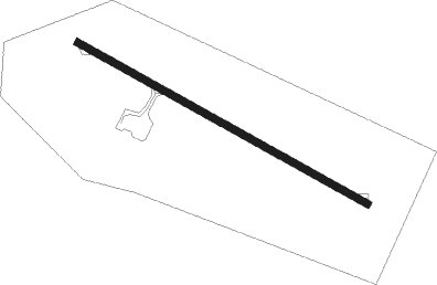
Runway info
| Runway 11 / 29 | ||
| length | 955m (3133ft) | |
| bearing | 122° / 302° | |
| width | 20m (66ft) | |
| surface | asphalt | |
Nearby beacons
| code | identifier | dist | bearing | frequency |
|---|---|---|---|---|
| HL | HOUAILOU NDB | 25.5 | 306° | 284 |
| NW | TONTOUTA (NOUMEA) NDB | 25.7 | 166° | 325 |
| FND | TONTOUTA (NOUMEA) NDB | 31.2 | 156° | 354 |
| LTO | TONTOUTA (NOUMEA) VOR/DME | 32 | 154° | 112.90 |
| MG | MAGENTA (NOUMEA) NDB | 52.9 | 146° | 394 |
| MGA | OUERE (NOUMEA) VOR/DME | 55.3 | 148° | 113 |
| TH | TOUHO NDB | 59.4 | 316° | 256 |
| OA | OUVEA NDB | 62.5 | 34° | 402 |
| MD | MAGENTA (NOUMEA) NDB | 63.7 | 153° | 383 |
Disclaimer
The information on this website is not for real aviation. Use this data with the X-Plane flight simulator only! Data taken with kind consent from X-Plane 12 source code and data files. Content is subject to change without notice.