Coromandel Aerodrome - Coromandel
Airport details
| Country | New Zealand |
| State | Waikato |
| Region | NZ |
| Municipality | Thames-Coromandel District |
| Elevation | 13ft (4m) |
| Timezone | GMT +13 |
| Coordinates | -36.79167, 175.50861 |
| Magnetic var | |
| Type | land |
| Available since | X-Plane v10.40 |
| ICAO code | NZCX |
| IATA code | CMV |
| FAA code | n/a |
Communication
Nearby Points of Interest:
Firth of Thames
-Auckland volcanic field
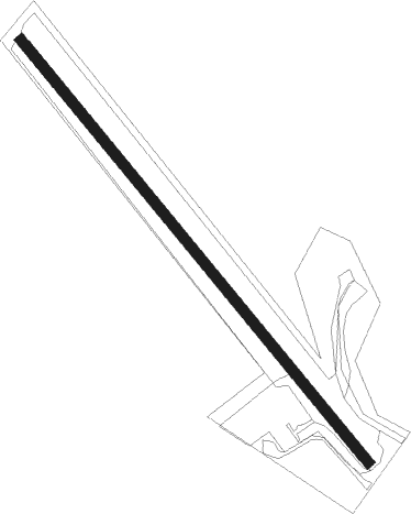
Runway info
| Runway 12 / 30 | ||
| length | 611m (2005ft) | |
| bearing | 139° / 319° | |
| width | 12m (39ft) | |
| surface | gravel | |
Nearby beacons
| code | identifier | dist | bearing | frequency |
|---|---|---|---|---|
| CV | CUVIER I. NDB | 24.8 | 37° | 302 |
| SY | SURREY NDB | 31.4 | 217° | 350 |
| AA | AUCKLAND VOR/DME | 35.7 | 253° | 114.80 |
| WP | WHENUAPAI (AUCKLAND) VOR/DME | 42.1 | 270° | 116.40 |
| WI | WAIUKU NDB | 43.8 | 236° | 254 |
| TG | TAURANGA NDB | 62.4 | 142° | 346 |
Disclaimer
The information on this website is not for real aviation. Use this data with the X-Plane flight simulator only! Data taken with kind consent from X-Plane 12 source code and data files. Content is subject to change without notice.