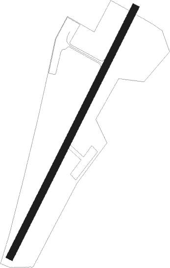
Greymouth
Airport details
| Country | New Zealand |
| State | West Coast |
| Region | NZ |
| Municipality | Grey District |
| Elevation | 14ft (4m) |
| Timezone | GMT +13 |
| Coordinates | -42.46167, 171.19000 |
| Magnetic var | |
| Type | land |
| Available since | X-Plane v10.40 |
| ICAO code | NZGM |
| IATA code | GMN |
| FAA code | n/a |
Communication
Nearby Points of Interest:
Dispatch & Garlick
-Hannah's Buildings
-Runanga Miners' Hall
-Brunner Mine
-Kotuku Model Bungalow
-Hokitika Savings Bank Building (Former)
-Government Buildings/Courthouse
-Okitiki Building
-Hokitika Customhouse
Nearby beacons
| code | identifier | dist | bearing | frequency |
|---|---|---|---|---|
| HK | HOKITIKA NDB | 19.1 | 221° | 310 |
| WS | WESTPORT NDB | 46.5 | 28° | 278 |
| WS | PORT DME | 46.6 | 28° | 116.90 |
Departure and arrival routes
| Transition altitude | 13000ft |
| Transition level | 15000ft |
| SID end points | distance | outbound heading | |
|---|---|---|---|
| RW01 | |||
| RILE1Q | 28mi | 162° | |
| OCEAN1 | 38mi | 360° | |
| RW19 | |||
| BELEE1 | 35mi | 149° | |
| OSOL1P | 28mi | 162° | |
| DAMIL1 | 38mi | 360° | |
| STAR starting points | distance | inbound heading | |
|---|---|---|---|
| RW01 | |||
| APAS1A | 20.0 | 20° | |
Instrument approach procedures
| runway | airway (heading) | route (dist, bearing) |
|---|---|---|
| RW01 | ELPAM (62°) | ELPAM PAROA (5mi, 123°) 2300ft |
| RW01 | PAKSA (9°) | PAKSA PAROA (5mi, 303°) 3400ft |
| RW01 | PAROA (36°) | PAROA 3400ft |
| RNAV | PAROA 2300ft AGRIP (5mi, 50°) 1980ft GM483 (4mi, 17°) 586ft PAROA (9mi, 216°) 3400ft |
Holding patterns
| STAR name | hold at | type | turn | heading* | altitude | leg | speed limit |
|---|---|---|---|---|---|---|---|
| APAS1A | PAROA | VHF | left | 208 (28)° | > 3400ft | 1.0min timed | ICAO rules |
| HK1A | PAROA | VHF | left | 208 (28)° | > 3400ft | 1.0min timed | ICAO rules |
| *) magnetic outbound (inbound) holding course | |||||||
Disclaimer
The information on this website is not for real aviation. Use this data with the X-Plane flight simulator only! Data taken with kind consent from X-Plane 12 source code and data files. Content is subject to change without notice.
