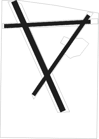
Hawera
Airport details
| Country | New Zealand |
| State | Taranaki |
| Region | NZ |
| Municipality | South Taranaki District |
| Elevation | 374ft (114m) |
| Timezone | GMT +13 |
| Coordinates | -39.55333, 174.26694 |
| Magnetic var | |
| Type | land |
| Available since | X-Plane v11.50 |
| ICAO code | NZHA |
| IATA code | n/a |
| FAA code | n/a |
Communication
Nearby Points of Interest:
Cape Egmont Lighthouse
-The Taranaki Cathedral Church of St Mary
Nearby beacons
| code | identifier | dist | bearing | frequency |
|---|---|---|---|---|
| NP | NEW PLYMOUTH VOR/DME | 33 | 351° | 114.40 |
| WU | DME | 42.6 | 118° | 116 |
| WU | WHANGANUI NDB | 42.7 | 118° | 382 |
| OR | DME | 50.3 | 37° | 113 |
Instrument approach procedures
| runway | airway (heading) | route (dist, bearing) |
|---|---|---|
| RW32 | NUKTO (307°) | NUKTO WAPOU (5mi, 254°) 2500ft |
| RW32 | UPVOK (8°) | UPVOK WAPOU (5mi, 74°) 2500ft |
| RW32 | WAPOU (335°) | WAPOU 2500ft |
| RNAV | WAPOU 2500ft HA906 (5mi, 335°) 2010ft NZHA (5mi, 335°) 403ft HA893 (3mi, 336°) HA522 (7mi, 254°) UPVOK (13mi, 147°) 3000ft |
Disclaimer
The information on this website is not for real aviation. Use this data with the X-Plane flight simulator only! Data taken with kind consent from X-Plane 12 source code and data files. Content is subject to change without notice.

