Waiouru
Airport details
| Country | New Zealand |
| State | Manawatū-Whanganui |
| Region | NZ |
| Municipality | Ruapehu District |
| Elevation | 2686ft (819m) |
| Timezone | GMT +12 |
| Coordinates | -39.44639, 175.65834 |
| Magnetic var | |
| Type | land |
| Available since | X-Plane v10.40 |
| ICAO code | NZRU |
| IATA code | n/a |
| FAA code | n/a |
Communication
| Waiouru CTAF | 119.100 |
Nearby Points of Interest:
Raurimu Spiral
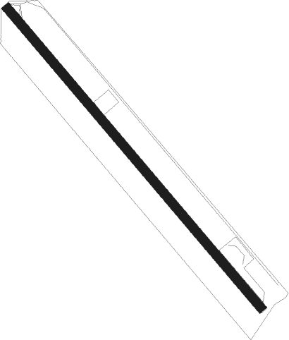
Runway info
| Runway 13 / 31 | ||
| length | 1220m (4003ft) | |
| bearing | 137° / 317° | |
| width | 29m (95ft) | |
| surface | asphalt | |
Nearby beacons
| code | identifier | dist | bearing | frequency |
|---|---|---|---|---|
| TM | TAUMARUNUI NDB | 35.3 | 327° | |
| WU | WHANGANUI NDB | 42.4 | 231° | 382 |
| AP | TAUPO NDB | 46.4 | 31° | 230 |
| OH | OHAKEA VOR/DME | 47.4 | 199° | 117.10 |
| PM | PALMERSTON NORTH VOR/DME | 52.4 | 181° | 113.40 |
| OR | DME | 54.3 | 306° | 113 |
Disclaimer
The information on this website is not for real aviation. Use this data with the X-Plane flight simulator only! Data taken with kind consent from X-Plane 12 source code and data files. Content is subject to change without notice.