Te Kuiti
Airport details
| Country | New Zealand |
| State | Waikato |
| Region | NZ |
| Municipality | Waitomo District |
| Elevation | 160ft (49m) |
| Timezone | GMT +13 |
| Coordinates | -38.30333, 175.14694 |
| Magnetic var | |
| Type | land |
| Available since | X-Plane v10.40 |
| ICAO code | NZTT |
| IATA code | n/a |
| FAA code | n/a |
Communication
Nearby Points of Interest:
Waiteti Viaduct
-Victoria Bridge
-Claudelands Bridge
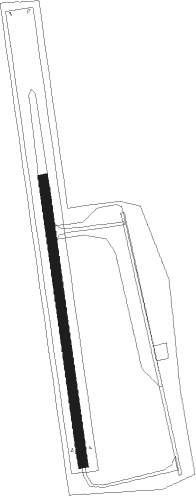
Runway info
| Runway 16 / 34 | ||
| length | 510m (1673ft) | |
| bearing | 176° / 356° | |
| width | 17m (56ft) | |
| surface | asphalt | |
Nearby beacons
| code | identifier | dist | bearing | frequency |
|---|---|---|---|---|
| HN | HAMILTON VOR/DME | 28.7 | 23° | 114 |
| OR | DME | 35.2 | 213° | 113 |
| TM | TAUMARUNUI NDB | 37.9 | 165° | |
| AP | TAUPO NDB | 50.9 | 115° | 230 |
| NP | NEW PLYMOUTH VOR/DME | 61.8 | 234° | 114.40 |
Disclaimer
The information on this website is not for real aviation. Use this data with the X-Plane flight simulator only! Data taken with kind consent from X-Plane 12 source code and data files. Content is subject to change without notice.