Twitzel - Pukaki
Airport details
| Country | New Zealand |
| State | Canterbury |
| Region | NZ |
| Municipality | Mackenzie District |
| Elevation | 1575ft (480m) |
| Timezone | GMT +12 |
| Coordinates | -44.23500, 170.11833 |
| Magnetic var | |
| Type | land |
| Available since | X-Plane v10.40 |
| ICAO code | NZUK |
| IATA code | TWZ |
| FAA code | n/a |
Communication
| Pukaki CTAF | 119.100 |
| Pukaki CHRISTCHURCH FIS | 123.500 |
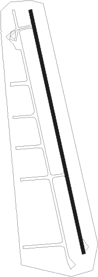
Runway info
| Runway 15 / 33 | ||
| length | 1081m (3547ft) | |
| bearing | 169° / 349° | |
| width | 16m (51ft) | |
| surface | asphalt | |
Nearby beacons
| code | identifier | dist | bearing | frequency |
|---|---|---|---|---|
| RY | MARY DME | 9.2 | 58° | 112.50 |
| LX | ALEXANDRA NDB | 62.1 | 214° | 386 |
Disclaimer
The information on this website is not for real aviation. Use this data with the X-Plane flight simulator only! Data taken with kind consent from X-Plane 12 source code and data files. Content is subject to change without notice.