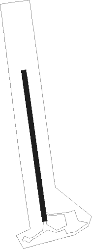
Wairoa
Airport details
| Country | New Zealand |
| State | Hawke's Bay |
| Region | NZ |
| Municipality | Wairoa District |
| Elevation | 41ft (12m) |
| Timezone | GMT +12 |
| Coordinates | -39.00694, 177.40666 |
| Magnetic var | |
| Type | land |
| Available since | X-Plane v10.40 |
| ICAO code | NZWO |
| IATA code | WIR |
| FAA code | n/a |
Communication
| Wairoa CTAF | 119.100 |
| Wairoa NAPIER Tower | 125.600 |
| Wairoa NAPIER Tower | 124.800 |
Nearby Points of Interest:
Wairoa Lighthouse
-Mohaka Viaduct
Runway info
| Runway 16 / 34 | ||
| length | 923m (3028ft) | |
| bearing | 176° / 356° | |
| width | 30m (98ft) | |
| surface | asphalt | |
Nearby beacons
| code | identifier | dist | bearing | frequency |
|---|---|---|---|---|
| GS | GISBORNE VOR/DME | 33.8 | 59° | 114.20 |
| NR | NAPIER VOR/DME | 36.6 | 230° | 113.80 |
Departure and arrival routes
| Transition altitude | 13000ft |
| Transition level | 15000ft |
| SID end points | distance | outbound heading | |
|---|---|---|---|
| RW16 | |||
| GOTN2P | 32mi | 68° | |
| RW34 | |||
| DOMO1Q | 17mi | 225° | |
Instrument approach procedures
| runway | airway (heading) | route (dist, bearing) |
|---|---|---|
| RW16 | AGTID (148°) | AGTID AVMEB (4mi, 87°) 3000ft |
| RW16 | IKIMU (175°) | IKIMU AVMEB (4mi, 176°) 3000ft |
| RW16 | UPSUV (202°) | UPSUV AVMEB (4mi, 267°) 3000ft |
| RNAV | AVMEB 3000ft RITPU (4mi, 176°) 2030ft NZWO (6mi, 174°) 89ft MARKS (10mi, 176°) 2800ft MARKS (turn) 2800ft | |
| RW34 | BURLY (25°) | BURLY MARKS (4mi, 87°) 2800ft |
| RW34 | OPOHO (328°) | OPOHO MARKS (4mi, 267°) 2800ft |
| RNAV | MARKS 2800ft WO422 (4mi, 356°) 1600ft WO411 (3mi, 356°) 700ft (8461mi, 282°) 700ft MARKS (8454mi, 102°) 2800ft MARKS (turn) 2800ft |
Holding patterns
| STAR name | hold at | type | turn | heading* | altitude | leg | speed limit |
|---|---|---|---|---|---|---|---|
| GURS1A | AGTID | VHF | right | 245 (65)° | > 6000ft | 1.0min timed | ICAO rules |
| *) magnetic outbound (inbound) holding course | |||||||
Disclaimer
The information on this website is not for real aviation. Use this data with the X-Plane flight simulator only! Data taken with kind consent from X-Plane 12 source code and data files. Content is subject to change without notice.
