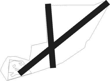
Whitianga
Airport details
| Country | New Zealand |
| State | Waikato |
| Region | NZ |
| Municipality | Thames-Coromandel District |
| Elevation | 12ft (4m) |
| Timezone | GMT +12 |
| Coordinates | -36.83167, 175.67860 |
| Magnetic var | |
| Type | land |
| Available since | X-Plane v10.40 |
| ICAO code | NZWT |
| IATA code | WTZ |
| FAA code | n/a |
Communication
Nearby beacons
| code | identifier | dist | bearing | frequency |
|---|---|---|---|---|
| CV | CUVIER I. NDB | 24 | 14° | 302 |
| SY | SURREY NDB | 34.6 | 232° | 350 |
| AA | AUCKLAND VOR/DME | 42.8 | 259° | 114.80 |
| WI | WAIUKU NDB | 49 | 243° | 254 |
| TG | TAURANGA NDB | 56.4 | 149° | 346 |
Departure and arrival routes
| Transition altitude | 13000ft |
| Transition level | 15000ft |
| SID end points | distance | outbound heading | |
|---|---|---|---|
| RW04 | |||
| OVTA1P | 15mi | 72° | |
Instrument approach procedures
| runway | airway (heading) | route (dist, bearing) |
|---|---|---|
| RWNVA | IGOVU (236°) | IGOVU UGSAP (5mi, 154°) 2000ft |
| RWNVA | OLVOL (268°) | OLVOL UGSAP (5mi, 334°) 2000ft |
| RWNVA | UGSAP (252°) | UGSAP 2000ft |
| RNAV | UGSAP 2000ft VETUM (5mi, 252°) 1630ft WT423 (3mi, 252°) 670ft UGSAP (8mi, 72°) 2000ft UGSAP (turn) 2000ft |
Disclaimer
The information on this website is not for real aviation. Use this data with the X-Plane flight simulator only! Data taken with kind consent from X-Plane 12 source code and data files. Content is subject to change without notice.

