Colusa - Colusa County
Airport details
| Country | United States of America |
| State | California |
| Region | K2 |
| Airspace | Oakland Ctr |
| Municipality | Colusa County |
| Elevation | 47ft (14m) |
| Timezone | GMT -8 |
| Coordinates | 39.17900, -121.99334 |
| Magnetic var | |
| Type | land |
| Available since | X-Plane v10.40 |
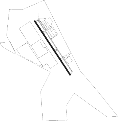
| ICAO code | O08 |
| IATA code | n/a |
| FAA code | n/a |
Communication
| Colusa County AWOS-KMYV | 118.475 |
| Colusa County CTAF/UNICOM | 122.800 |
| Colusa County Tower | 119.650 |
Nearby Points of Interest:
Colusa Carnegie Library
-West Butte Schoolhouse
-Live Oak Historic Commercial District
-Hart Building
-Packard Library
-United States Post Office (Willows, California)
-Yolo Branch Library
-Wheatland Masonic Temple
Nearby beacons
| code | identifier | dist | bearing | frequency |
|---|---|---|---|---|
| ILA | WILLIAMS VORTAC | 6.6 | 197° | 114.40 |
| MYV | MARYSVILLE VOR/DME | 20.1 | 101° | 110.80 |
| BAB | BEALE (MARYSVILLE) TACAN | 25.8 | 95° | 108.60 |
| MCC | MC CLELLAN (SACRAMENTO) VOR/DME | 41.2 | 131° | 109.20 |
| SAC | SACRAMENTO VORTAC | 48.7 | 149° | 115.20 |
| STS | ROSA DME | 55.5 | 231° | 116.15 |
| SUU | TRAVIS (FAIRFIELD) TACAN | 56.1 | 177° | 116.60 |
| RBL | RED BLUFF VORTAC | 56.3 | 345° | 115.70 |
| SGD | SCAGGS ISLAND (NAPA) VORTAC | 62.6 | 201° | 112.10 |
Instrument approach procedures
| runway | airway (heading) | route (dist, bearing) |
|---|---|---|
| RW31 | ELEGY (15°) | ELEGY KYILE (15mi, 53°) 3000ft |
| RW31 | GRIME (302°) | GRIME KYILE (6mi, 277°) 3000ft |
| RNAV | KYILE 3000ft SIXTO (6mi, 311°) 1700ft O08 (5mi, 324°) 87ft (6862mi, 108°) 600ft VACIA (6863mi, 288°) 2600ft VACIA (turn) | |
| RWNVB | ILA (17°) | ILA VACIA (17mi, 343°) 2600ft VACIA (turn) 2600ft |
| RWNVB | JINGO (179°) | JINGO VACIA (19mi, 200°) 2600ft |
| RWNVB | TALUM (206°) | TALUM VACIA (12mi, 254°) 2600ft VACIA (turn) 2600ft |
| RNAV | VACIA 2600ft MORAE (6mi, 144°) 1700ft O08 (5mi, 144°) 99ft (6862mi, 108°) 450ft VACIA (6863mi, 288°) 2600ft VACIA (turn) |
Disclaimer
The information on this website is not for real aviation. Use this data with the X-Plane flight simulator only! Data taken with kind consent from X-Plane 12 source code and data files. Content is subject to change without notice.