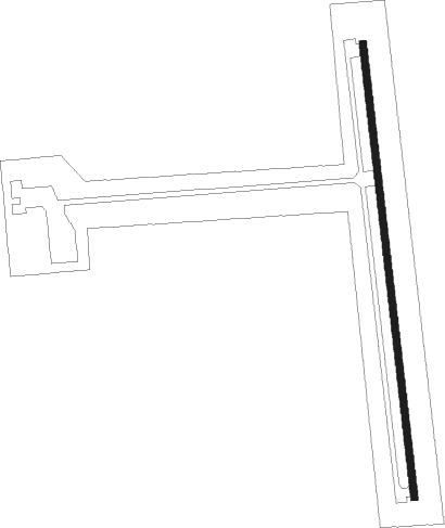
Lone Pine
Airport details
| Country | United States of America |
| State | California |
| Region | K2 |
| Airspace | Los Angeles Ctr |
| Municipality | Lone Pine |
| Elevation | 3680ft (1122m) |
| Timezone | GMT -8 |
| Coordinates | 36.58870, -118.04939 |
| Magnetic var | |
| Type | land |
| Available since | X-Plane v10.40 |
| ICAO code | O26 |
| IATA code | n/a |
| FAA code | n/a |
Communication
| Lone Pine CTAF/UNICOM | 122.800 |
Nearby Points of Interest:
Smithsonian Institution Shelter
-Inyo County Courthouse
-Shorty Lovelace Historic District
-Barton-Lackey Cabin
-Redwood Meadow Ranger Station
-Quinn Ranger Station
-Pear Lake Ski Hut
-Knapp Cabin
-Hockett Meadow Ranger Station
Nearby beacons
| code | identifier | dist | bearing | frequency |
|---|---|---|---|---|
| BIH | BISHOP VOR/DME | 49.7 | 338° | 109.60 |
| NID | CHINA LAKE TACAN | 56.8 | 158° | 111.60 |
| TTE | TULE VOR/DME | 62.1 | 235° | 109.20 |
Disclaimer
The information on this website is not for real aviation. Use this data with the X-Plane flight simulator only! Data taken with kind consent from X-Plane 12 source code and data files. Content is subject to change without notice.