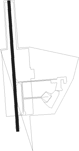
Eureka - Samoa Field
Airport details
| Country | United States of America |
| State | California |
| Region | |
| Airspace | Seattle Ctr |
| Municipality | Humboldt County |
| Elevation | 20ft (6m) |
| Timezone | GMT -8 |
| Coordinates | 40.78464, -124.21212 |
| Magnetic var | |
| Type | land |
| Available since | X-Plane v10.40 |
| ICAO code | O33 |
| IATA code | n/a |
| FAA code | O33 |
Communication
Nearby Points of Interest:
Humboldt Bay Woolen Mill
-William S. Clark House
-Eureka Theater
-Carnegie Free Library
-E. Janssen Building
-Eureka
-Odd Fellows Hall
-Thomas F. Ricks House
-United States Post Office and Courthouse
-George McFarlan House
-Ferndale Main Street Historic District
-Old Jacoby Creek School
-Pythian Castle
-Fernbridge
-F. W. Andreasen-John Rossen House
-Ferndale Library
-Alford-Nielson House
-Shaw House
-A. Berding House
-Masonic Temple
-Trinidad Head Light
Nearby beacons
| code | identifier | dist | bearing | frequency |
|---|---|---|---|---|
| FOT | FORTUNA VORTAC | 6.8 | 191° | 114 |
| ACV | ARCATA VOR/DME | 12.7 | 28° | 115.05 |
| CEC | CRESCENT CITY VORTAC | 59.7 | 358° | 109 |
Disclaimer
The information on this website is not for real aviation. Use this data with the X-Plane flight simulator only! Data taken with kind consent from X-Plane 12 source code and data files. Content is subject to change without notice.