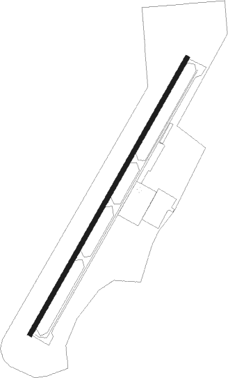
Fall River Mills
Airport details
| Country | United States of America |
| State | California |
| Region | K2 |
| Airspace | Oakland Ctr |
| Municipality | Shasta County |
| Elevation | 3323ft (1013m) |
| Timezone | GMT -8 |
| Coordinates | 41.01736, -121.43497 |
| Magnetic var | |
| Type | land |
| Available since | X-Plane v10.40 |
| ICAO code | O89 |
| IATA code | n/a |
| FAA code | n/a |
Communication
| Fall River Mills AWOS | 123.900 |
| Fall River Mills CTAF/UNICOM | 122.800 |
Nearby Points of Interest:
Nobles Emigrant Trail
-Discovery Center
-Loomis Ranger Station
Nearby beacons
| code | identifier | dist | bearing | frequency |
|---|---|---|---|---|
| RDD | REDDING VOR/DME | 49.6 | 239° | 108.40 |
| RBL | RED BLUFF VORTAC | 66.1 | 221° | 115.70 |
Disclaimer
The information on this website is not for real aviation. Use this data with the X-Plane flight simulator only! Data taken with kind consent from X-Plane 12 source code and data files. Content is subject to change without notice.