Bagram
Airport details
| Country | Afghanistan |
| State | Parwan Province |
| Region | OA |
| Airspace | Kabul Ctr |
| Municipality | Bagram |
| Elevation | 4895ft (1492m) |
| Timezone | GMT +4.5 |
| Coordinates | 34.93154, 69.25932 |
| Magnetic var | |
| Type | land |
| Available since | X-Plane v10.32 |
| ICAO code | OAIX |
| IATA code | OAI |
| FAA code | n/a |
Communication
| Bagram ATIS | 134.250 |
| Bagram Ground Control | 125.900 |
| Bagram Tower | 118.500 |
| Bagram Approach | 133.350 |
| Bagram Departure | 133.350 |
Approach frequencies
| ILS-cat-I | RW03R | 110.7 | 18.00mi |
| 3° GS | RW03R | 110.7 | 18.00mi |
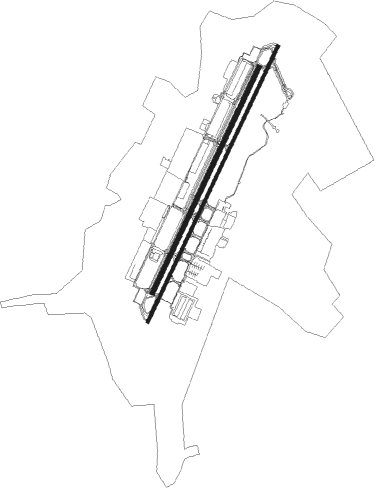
Runway info
Runway 03R / 21L  | ||
| length | 3609m (11841ft) | |
| bearing | 35° / 215° | |
| width | 44m (144ft) | |
| surface | asphalt | |
| blast zone | 61m (200ft) / 60m (197ft) | |
| Runway 03L / 21R | ||
| length | 2953m (9688ft) | |
| bearing | 35° / 215° | |
| width | 55m (180ft) | |
| surface | concrete | |
Nearby beacons
| code | identifier | dist | bearing | frequency |
|---|---|---|---|---|
| BGM | BAGRAM VORTAC | 1.2 | 33° | 112.70 |
| OKB | KABUL TACAN | 22.1 | 188° | 133.80 |
| KBL | KABUL VOR/DME | 23.2 | 175° | 112 |
Departure and arrival routes
| Transition altitude | 14000ft |
| Transition level | 16000ft |
| SID end points | distance | outbound heading | |
|---|---|---|---|
| RW03R | |||
| REPUB1 | 25mi | 195° | |
Disclaimer
The information on this website is not for real aviation. Use this data with the X-Plane flight simulator only! Data taken with kind consent from X-Plane 12 source code and data files. Content is subject to change without notice.